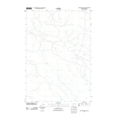
2011 Map of Elkhorn Creek SW
USGS Topo · Published 2011About this map
South Fork Owl Creek and Owl Creek carve through the open landscapes of Carter County in this 2011 survey, reflecting a region defined by its drainage networks. The map detail highlights a sparse settlement pattern characteristic of southeastern Montana, where the primary infrastructure consists of rural routes like Albion Rd connecting isolated tracts.
Find a feature on this map
9 named features on this map. Tap any name to fly to it.
Don’t see what you’re looking for? This feature index may not catch every label — zoom into the map to look around manually.
Map Details
Editions of this 2011 Elkhorn Creek SW Map
This is the sole edition of this map. No revisions or reprints were ever made.
Other maps of this area

1901 · Aladdin
USGS Topo · 1:125,000

1903 · Aladdin
USGS Topo · 1:125,000

1954 · Ekalaka
USGS Topo · 1:250,000

1954 · Gillette
USGS Topo · 1:250,000

1955 · Gillette
USGS Topo · 1:250,000

1956 · Ekalaka
USGS Topo · 1:250,000

1957 · Mona
USGS Topo · 1:62,500

1957 · Colony
USGS Topo · 1:62,500

1958 · Gillette
USGS Topo · 1:250,000

1958 · Ekalaka
USGS Topo · 1:250,000