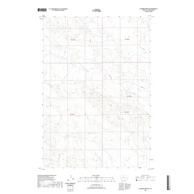
2020 Map of Elkhorn Creek SW
USGS Topo · Published 2020About this map
Watson Draw cuts through this remote stretch of Carter County, where a complex network of drainage basins defines the high plains landscape. The drainage patterns of the area are intricate, with north-flowing systems like Ninemile Cr and Twelvemile Cr contrasted against the southern watersheds of Owl Cr and its tributary, S Fork Owl Cr. This 2020 survey by the U.S. Geological Survey documents the sparse infrastructure of the region, anchored by only a handful of local routes such as Albion Rd and Indian Creek Rd. The map illustrates a landscape primarily shaped by natural erosion and the intermittent flows of streams like S Indian Cr and Easter Cr, which have carved out the terrain over generations in this corner of southeastern Montana.
Find a feature on this map
15 named features on this map. Tap any name to fly to it.
Don’t see what you’re looking for? This feature index may not catch every label — zoom into the map to look around manually.
Map Details
Editions of this 2020 Elkhorn Creek SW Map
This is the sole edition of this map. No revisions or reprints were ever made.
Other maps of this area

1901 · Aladdin
USGS Topo · 1:125,000

1903 · Aladdin
USGS Topo · 1:125,000

1954 · Ekalaka
USGS Topo · 1:250,000

1954 · Gillette
USGS Topo · 1:250,000

1955 · Gillette
USGS Topo · 1:250,000

1956 · Ekalaka
USGS Topo · 1:250,000

1957 · Mona
USGS Topo · 1:62,500

1957 · Colony
USGS Topo · 1:62,500

1958 · Gillette
USGS Topo · 1:250,000

1958 · Ekalaka
USGS Topo · 1:250,000