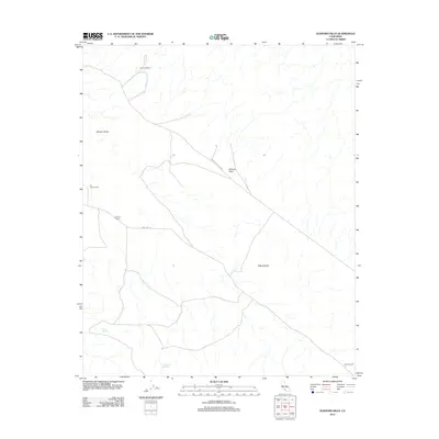
2012 Map of Elkhorn Hills
USGS Topo · Published 2012About this map
Cochora Ranch and several other family-named outposts dot this arid stretch of the California interior, reflecting a landscape defined by ranching and geological movement. The geography is dominated by the Elkhorn Scarp, a sharp tectonic feature that separates the Elkhorn Plain from the rolling Elkhorn Hills. This area is sparsely populated, with life centered around reliable water sources like Lawson Spring and Padrones Spring. Transportation through this corner of Kern County is facilitated by the intersection of Simmler Soda Lake Rd and Soda Lake Rd, which connect the remote A F Traver Ranch and Hanline Ranch to the wider region. The map reveals a high-desert environment where human presence is sparse and tied directly to the terrain and its scarce water resources.
Find a feature on this map
11 named features on this map. Tap any name to fly to it.
Don’t see what you’re looking for? This feature index may not catch every label — zoom into the map to look around manually.
Map Details
Editions of this 2012 Elkhorn Hills Map
This is the sole edition of this map. No revisions or reprints were ever made.
Other maps of this area
1902 · Santa Ynez
USGS Topo · 1:125,000
1903 · Mt. Pinos
USGS Topo · 1:125,000
1905 · Santa Ynez
USGS Topo · 1:125,000
1910 · Buena Vista Lake
USGS Topo · 1:125,000
1912 · McKittrick
USGS Topo · 1:125,000
1912 · Buena Vista Lake
USGS Topo · 1:125,000
1942 · Ballinger Canyon
USGS Topo · 1:24,000
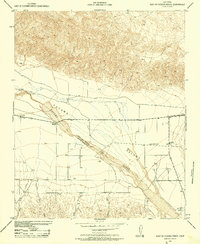
1942 · East of Cuyama Ranch
USGS Topo · 1:24,000
1943 · Maricopa
USGS Topo · 1:31,680
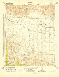
1943 · Cuyama Ranch
USGS Topo · 1:31,680