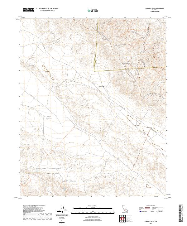
2021 Map of Elkhorn Hills
USGS Topo · Published 2021About this map
The Elkhorn Scarp and the broader CO RD 285 Carrizo Plain form a geologically significant landscape where the Elkhorn Hills rise between two major regional highlands. This area, straddling the border of San Luis Obispo and Kern counties, is defined by its arid terrain and the presence of critical water sources like Lawson Spring and Padrones Spring. The map documents a network of remote routes, including the Simmler Soda Lake Rd and Elkhorn Rd, which cross the Elkhorn Plain at the foot of the Temblor Range.
Find a feature on this map
16 named features on this map. Tap any name to fly to it.
Don’t see what you’re looking for? This feature index may not catch every label — zoom into the map to look around manually.
Map Details
Editions of this 2021 Elkhorn Hills Map
This is the sole edition of this map. No revisions or reprints were ever made.
Other maps of this area

1902 · Santa Ynez
USGS Topo · 1:125,000

1903 · Mt. Pinos
USGS Topo · 1:125,000

1905 · Santa Ynez
USGS Topo · 1:125,000

1910 · Buena Vista Lake
USGS Topo · 1:125,000

1912 · McKittrick
USGS Topo · 1:125,000

1912 · Buena Vista Lake
USGS Topo · 1:125,000

1942 · Ballinger Canyon
USGS Topo · 1:24,000

1942 · East of Cuyama Ranch
USGS Topo · 1:24,000

1943 · Maricopa
USGS Topo · 1:31,680

1943 · Cuyama Ranch
USGS Topo · 1:31,680