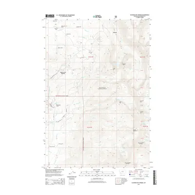
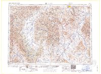
2014 Map of Elkhorn Hot Springs
USGS Topo · Published 2014About this map
Elkhorn Hot Springs serves as a focal point for this high-elevation corner of the Beaverhead National Forest. The landscape is defined by the sharp rise of the Pioneer Mountains, where peaks like Alturas Number Two Mtn and Highboy Mtn tower over alpine basins. This area is characterized by a concentrated network of high-country lakes and creek systems, including Hopkins Lake and Dingley Lakes, which feed the drainages of Grasshopper Cr and Elkhorn Cr. Access to these remote reaches is facilitated by the Pioneer Mountains Scenic Byway, connecting the lower Grasshopper Valley to recreation sites like Crystal Park. The map illustrates a complex topography of ridges and parks, such as Comet Ridge and Sheldon Park, reflecting the rugged character of southwestern Montana's mountain wilderness.
Find a feature on this map
101 named features on this map. Tap any name to fly to it.
Don’t see what you’re looking for? This feature index may not catch every label — zoom into the map to look around manually.
Map Details
Editions of this 2014 Elkhorn Hot Springs Map
This is the sole edition of this map. No revisions or reprints were ever made.
Other maps of this area
1893 · Dillon
USGS Topo · 1:250,000
1952 · Torrey Mountain
USGS Topo · 1:24,000
1952 · Ermont
USGS Topo · 1:24,000

1955 · Dillon
USGS Topo · 1:250,000

1957 · Dillon
USGS Topo · 1:250,000
1958 · Dillon
USGS Topo · 1:250,000
1958 · Vipond Park
USGS Topo · 1:62,500
1959 · Polaris
USGS Topo · 1:62,500
1962 · Dillon
USGS Topo · 1:250,000
1965 · Dillon
USGS Topo · 1:250,000