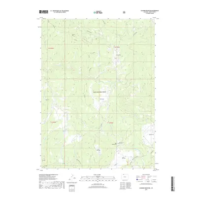
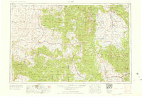
2019 Map of Elkhorn Mountain
USGS Topo · Published 2019About this map
Routt National Forest encompasses this high-elevation landscape in northern Colorado, where a network of open mountain parks breaks up the timbered terrain. Notable clearings like Whiskey Park, Big Red Park, and Crane Park define the regional geography, providing natural hubs within the forest. Water management is evident at McGregor Reservoir, while the drainage system is led by the Middle Fork Little Snake River and its numerous tributaries including Whiskey Creek and King Solomon Cr. Local history is anchored by the presence of Dead Mexican Park Cem located near the clearing of the same name. Elevations reach distinct heights at Elkhorn Mtn, City Mtn, and the southern boundary marked by Nipple Peak. This 2019 survey documents the modern forest road system, featuring the Elkhorn and Pioneer routes, alongside specialized recreation paths such as the Kids Loop and Farwell Connector.
Find a feature on this map
36 named features on this map. Tap any name to fly to it.
Don’t see what you’re looking for? This feature index may not catch every label — zoom into the map to look around manually.
Map Details
Editions of this 2019 Elkhorn Mountain Map
This is the sole edition of this map. No revisions or reprints were ever made.
Other maps of this area
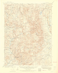
1911 · Hahns Peak
USGS Topo · 1:125,000
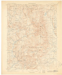
1913 · Hahns Peak
USGS Topo · 1:125,000
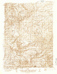
1932 · Savery
USGS Topo · 1:96,000
1939 · Saratoga
USGS Topo · 1:125,000
1940 · Savery
USGS Topo · 1:125,000

1954 · Rawlins
USGS Topo · 1:250,000

1954 · Craig
USGS Topo · 1:250,000
1957 · Craig
USGS Topo · 1:250,000
1958 · Rawlins
USGS Topo · 1:250,000
1958 · Craig
USGS Topo · 1:250,000