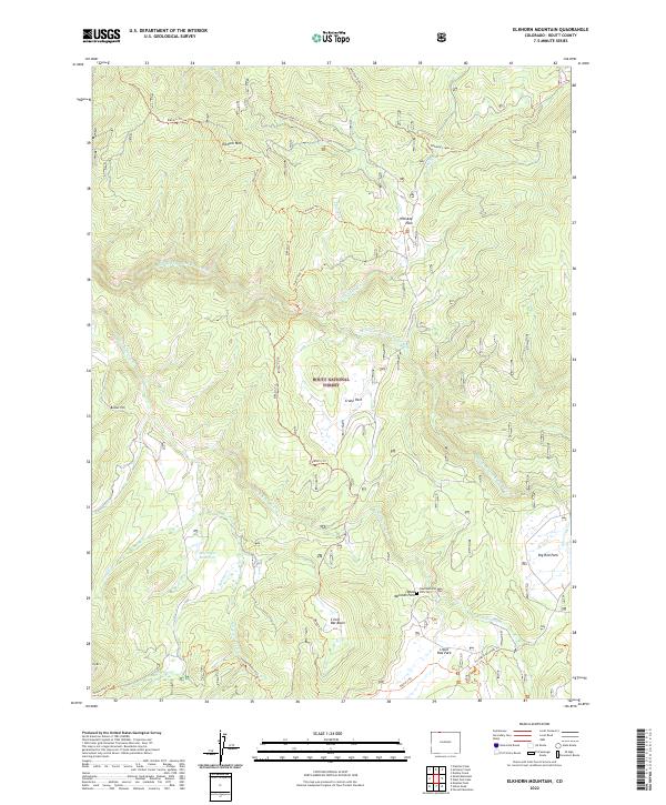
2022 Map of Elkhorn Mountain
USGS Topo · Published 2022About this map
Routt National Forest defines this high-elevation landscape in Routt County, where the drainages of the Middle Fork Little Snake River and King Solomon Cr carve through a network of alpine parks and basins. The terrain is characterized by broad openings like Crane Park and Whiskey Park, which historically served as vital summer grazing and transit corridors through the northern Colorado mountains. A notable point of local interest is the Dead Mexican Park Cem near the confluence of several mountain streams, situated just east of Circle Bar Basin. The map reveals a high-country economy oriented toward recreation and resource management, with a dense system of historic routes including the Whiskey Creek Trl and Pioneer Trl. The presence of the McCargar Reservoir near Summit Cr further highlights the critical water management infrastructure necessary in this watershed.
Find a feature on this map
31 named features on this map. Tap any name to fly to it.
Don’t see what you’re looking for? This feature index may not catch every label — zoom into the map to look around manually.
Map Details
Editions of this 2022 Elkhorn Mountain Map
This is the sole edition of this map. No revisions or reprints were ever made.
Other maps of this area

1911 · Hahns Peak
USGS Topo · 1:125,000

1913 · Hahns Peak
USGS Topo · 1:125,000

1932 · Savery
USGS Topo · 1:96,000

1939 · Saratoga
USGS Topo · 1:125,000

1940 · Savery
USGS Topo · 1:125,000

1954 · Rawlins
USGS Topo · 1:250,000

1954 · Craig
USGS Topo · 1:250,000

1957 · Craig
USGS Topo · 1:250,000

1958 · Rawlins
USGS Topo · 1:250,000

1958 · Craig
USGS Topo · 1:250,000