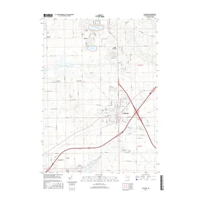
2016 Map of Elkhorn
USGS Topo · Published 2016About this map
The city of Elkhorn serves as a primary hub for this central Walworth County landscape, where the convergence of major highways and the northern edge of Delavan shape the region's modern layout. This 2016 survey illustrates the persistent agricultural and residential balance of the area, punctuated by numerous local burial grounds such as Mount Olivet Cem and Hazel Ridge Cem. The transition from the urban density of Elkhorn to the outlying rural crossroads of Tibbets and Abells Corners reveals the traditional township structure of T3N R16E and T3N R17E.
Find a feature on this map
128 named features on this map. Tap any name to fly to it.
Don’t see what you’re looking for? This feature index may not catch every label — zoom into the map to look around manually.
Map Details
Editions of this 2016 Elkhorn Map
This is the sole edition of this map. No revisions or reprints were ever made.
Other maps of this area

1892 · Whitewater
USGS Topo · 1:62,500

1892 · Eagle
USGS Topo · 1:62,500

1893 · Delavan
USGS Topo · 1:62,500

1893 · Whitewater
USGS Topo · 1:62,500

1893 · Geneva
USGS Topo · 1:62,500

1894 · Eagle
USGS Topo · 1:62,500

1897 · Eagle
USGS Topo · 1:62,500

1903 · Whitewater
USGS Topo · 1:62,500

1904 · Lake Geneva
USGS Topo · 1:62,500

1906 · Eagle
USGS Topo · 1:62,500