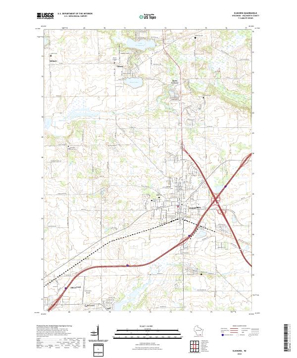
2022 Map of Elkhorn
USGS Topo · Published 2022About this map
Elkhorn and Delavan serve as the primary hubs in this part of Walworth County, connected by a network of local roads and the interstate. The landscape is characterized by its glacial hydrology, with Lake Wandawega and Silver Lake situated north of the city centers. Small agricultural settlements like Tibbets, Millard, and Abells Corners are scattered throughout the township boundaries of t3n r16e and t2n r17e, reflecting the region's enduring rural character.
Find a feature on this map
131 named features on this map. Tap any name to fly to it.
Don’t see what you’re looking for? This feature index may not catch every label — zoom into the map to look around manually.
Map Details
Editions of this 2022 Elkhorn Map
This is the sole edition of this map. No revisions or reprints were ever made.
Other maps of this area
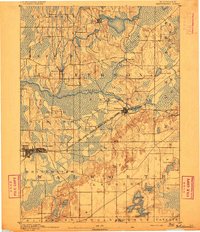
1892 · Whitewater
USGS Topo · 1:62,500
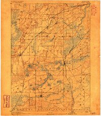
1892 · Eagle
USGS Topo · 1:62,500
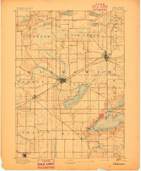
1893 · Delavan
USGS Topo · 1:62,500
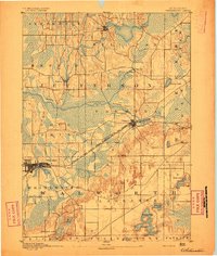
1893 · Whitewater
USGS Topo · 1:62,500
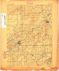
1893 · Geneva
USGS Topo · 1:62,500
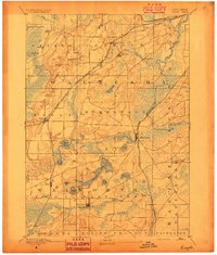
1894 · Eagle
USGS Topo · 1:62,500
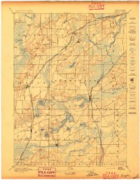
1897 · Eagle
USGS Topo · 1:62,500
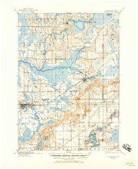
1903 · Whitewater
USGS Topo · 1:62,500
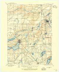
1904 · Lake Geneva
USGS Topo · 1:62,500
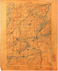
1906 · Eagle
USGS Topo · 1:62,500