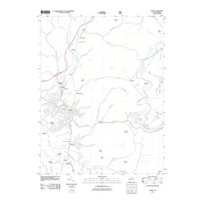
2011 Map of Elkins
USGS Topo · Published 2011About this map
The Tygart Valley River flows through the heart of Elkins, serving as a central geographic anchor for this Randolph County hub. The 2011 landscape reveals a dense network of residential and civic development extending from the city center toward outlying communities like Highland Park and Leadsville. Significant for genealogists, the map identifies numerous memorial sites, including Maplewood Cemetery, Saint Brendens Cemetery, and the Independent Order of Odd Fellows Cemetery.
Find a feature on this map
94 named features on this map. Tap any name to fly to it.
Don’t see what you’re looking for? This feature index may not catch every label — zoom into the map to look around manually.
Map Details
Editions of this 2011 Elkins Map
This is the sole edition of this map. No revisions or reprints were ever made.
Other maps of this area

1886 · St. George
USGS Topo · 1:125,000

1889 · Beverly
USGS Topo · 1:125,000

1891 · St. George
USGS Topo · 1:125,000

1892 · Beverly
USGS Topo · 1:125,000

1907 · Belington
USGS Topo · 1:62,500

1908 · Parsons
USGS Topo · 1:62,500

1909 · Elkins
USGS Topo · 1:62,500

1922 · Horton
USGS Topo · 1:48,000

1924 · Horton
USGS Topo · 1:62,500

1926 · Parsons
USGS Topo · 1:62,500