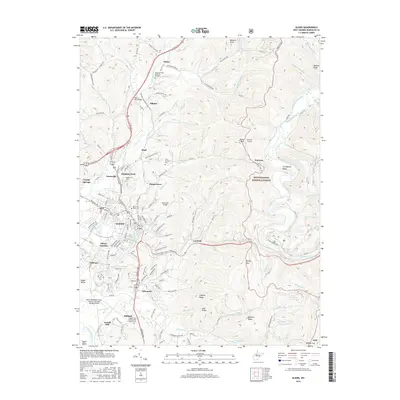
2016 Map of Elkins
USGS Topo · Published 2016About this map
Elkins serves as the focal point of this Randolph County survey, situated at a bend in the Tygart Valley River where the valley floor meets the rising peaks of the Monongahela National Forest. The map documents a community deeply intertwined with its topography and institutions, including the campus of Davis and Elkins Coll and a series of burial grounds such as Saint Brendans Cem and the Independent Order of Odd Fellows Cem.
Find a feature on this map
141 named features on this map. Tap any name to fly to it.
Don’t see what you’re looking for? This feature index may not catch every label — zoom into the map to look around manually.
Map Details
Editions of this 2016 Elkins Map
This is the sole edition of this map. No revisions or reprints were ever made.
Other maps of this area

1886 · St. George
USGS Topo · 1:125,000

1889 · Beverly
USGS Topo · 1:125,000

1891 · St. George
USGS Topo · 1:125,000

1892 · Beverly
USGS Topo · 1:125,000

1907 · Belington
USGS Topo · 1:62,500

1908 · Parsons
USGS Topo · 1:62,500

1909 · Elkins
USGS Topo · 1:62,500

1922 · Horton
USGS Topo · 1:48,000

1924 · Horton
USGS Topo · 1:62,500

1926 · Parsons
USGS Topo · 1:62,500