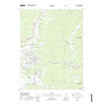
2019 Map of Elkins
USGS Topo · Published 2019About this map
The Randolph County Courthouse serves as the focal point of Elkins, where the street grid meets the winding course of Tygart Valley River. This 2019 survey documents a landscape of valley settlements including Crystal Springs, Glenmore, and Midland, all framed by the rising elevations of the Monongahela National Forest to the east. The transportation network is a mix of traditional and modern, featuring the Randolph County Railway alongside the Randolph County Airport-Jennings Randolph Field.
Find a feature on this map
95 named features on this map. Tap any name to fly to it.
Don’t see what you’re looking for? This feature index may not catch every label — zoom into the map to look around manually.
Map Details
Editions of this 2019 Elkins Map
This is the sole edition of this map. No revisions or reprints were ever made.
Other maps of this area

1886 · St. George
USGS Topo · 1:125,000

1889 · Beverly
USGS Topo · 1:125,000

1891 · St. George
USGS Topo · 1:125,000

1892 · Beverly
USGS Topo · 1:125,000

1907 · Belington
USGS Topo · 1:62,500

1908 · Parsons
USGS Topo · 1:62,500

1909 · Elkins
USGS Topo · 1:62,500

1922 · Horton
USGS Topo · 1:48,000

1924 · Horton
USGS Topo · 1:62,500

1926 · Parsons
USGS Topo · 1:62,500