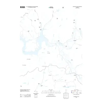
2013 Map of Elkinsville
USGS Topo · Published 2013About this map
Elkinsville and Maumee serve as the primary hubs in this corner of Brown County, where the landscape is defined by the extensive backwaters of Monroe Lake. The topography is a complex network of deeply incised drainages and prominent ridges, including Hickory Ridge and Terrill Ridge, which separate numerous hollows named for early inhabitants, such as Bales, Petro, and Moore. This terrain dictated the winding paths of roads like Deckard Ridge Rd and Gilmore Rd, which follow the high ground above the creek bottoms.
Find a feature on this map
64 named features on this map. Tap any name to fly to it.
Don’t see what you’re looking for? This feature index may not catch every label — zoom into the map to look around manually.
Map Details
Editions of this 2013 Elkinsville Map
This is the sole edition of this map. No revisions or reprints were ever made.
Other maps of this area

1934 · Bedford
USGS Topo · 1:48,000

1937 · Bedford
USGS Topo · 1:62,500

1942 · Franklin
USGS Topo · 1:125,000

1946 · Belmont
USGS Topo · 1:24,000

1947 · Allens Creek
USGS Topo · 1:24,000

1947 · Unionville
USGS Topo · 1:24,000

1947 · Nashville
USGS Topo · 1:24,000

1947 · Elkinsville
USGS Topo · 1:24,000

1949 · Nashville
USGS Topo · 1:24,000

1950 · Belmont
USGS Topo · 1:24,000