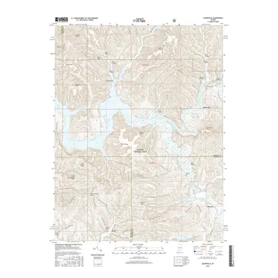
2016 Map of Elkinsville
USGS Topo · Published 2016About this map
Monroe Lake dominates the central landscape of this Indiana quadrangle, where the flooded valley of the Middle Fork Salt Creek has reshaped the local geography. The settlement of Elkinsville sits at the edge of this inundation, serving as a focal point for researchers interested in the transformation of the Salt Creek valley. Much of the surrounding area is preserved within the Hoosier National Forest, a terrain defined by named ridges and deep hollows such as Browning Hill and Rayburn Hollow.
Find a feature on this map
79 named features on this map. Tap any name to fly to it.
Don’t see what you’re looking for? This feature index may not catch every label — zoom into the map to look around manually.
Map Details
Editions of this 2016 Elkinsville Map
This is the sole edition of this map. No revisions or reprints were ever made.
Other maps of this area

1934 · Bedford
USGS Topo · 1:48,000

1937 · Bedford
USGS Topo · 1:62,500

1942 · Franklin
USGS Topo · 1:125,000

1946 · Belmont
USGS Topo · 1:24,000

1947 · Allens Creek
USGS Topo · 1:24,000

1947 · Unionville
USGS Topo · 1:24,000

1947 · Nashville
USGS Topo · 1:24,000

1947 · Elkinsville
USGS Topo · 1:24,000

1949 · Nashville
USGS Topo · 1:24,000

1950 · Belmont
USGS Topo · 1:24,000