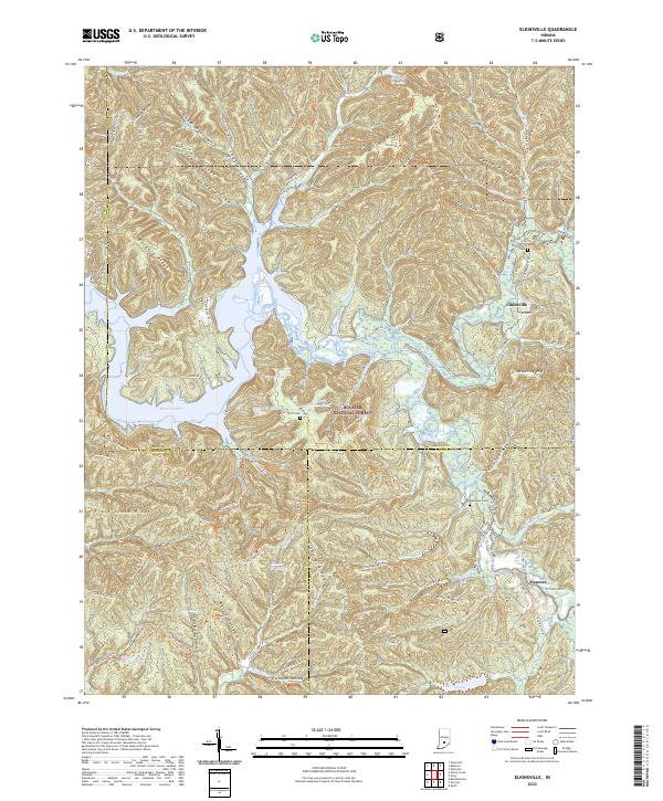
2022 Map of Elkinsville
USGS Topo · Published 2022About this map
Elkinsville and Maumee serve as central points in this landscape where the boundaries of Monroe, Brown, and Jackson counties converge. The terrain is defined by a dense network of ridges and hollows, such as Deckard Ridge and Moore Hollow, which channel numerous waterways toward the Middle Fork Salt Creek and the expansive Monroe Lake. This modern survey illustrates how much of the area is preserved within the Hoosier National Forest, showing the proximity of recreational sites like Lake Tarzian and Warren Lake to long-standing local landmarks. Genealogists can locate several historic burial grounds nestled in the hills, including Terrill Cem, Robertson Cem, and the Elkinsville Cemetery, providing a clear record of family names and settlement patterns in this part of southern Indiana.
Find a feature on this map
99 named features on this map. Tap any name to fly to it.
Don’t see what you’re looking for? This feature index may not catch every label — zoom into the map to look around manually.
Map Details
Editions of this 2022 Elkinsville Map
This is the sole edition of this map. No revisions or reprints were ever made.
Other maps of this area

1934 · Bedford
USGS Topo · 1:48,000

1937 · Bedford
USGS Topo · 1:62,500

1942 · Franklin
USGS Topo · 1:125,000

1946 · Belmont
USGS Topo · 1:24,000

1947 · Allens Creek
USGS Topo · 1:24,000

1947 · Unionville
USGS Topo · 1:24,000

1947 · Nashville
USGS Topo · 1:24,000

1947 · Elkinsville
USGS Topo · 1:24,000

1949 · Nashville
USGS Topo · 1:24,000

1950 · Belmont
USGS Topo · 1:24,000