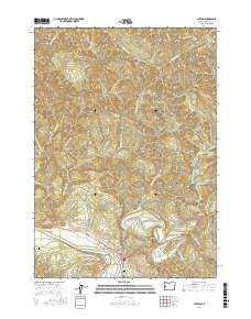
2017 Map of Elkton
USGS Topo · Published 2017About this map
Elkton sits at the vital confluence of the Umpqua River and Elk Creek, where water systems dictated the early development of this Douglas County corridor. The terrain is defined by prominent elevations such as Hancock Mtn and Saddle Butte, which are carved by a complex network of drainages including Paradise Cr, Johnson Cr, and Little Tom Folley Cr. The map reveals the interplay between natural waterways and early 21st-century infrastructure, notably the Elk-Creek Tunnel 3437 and a winding network of ridge roads like Halfway Ridge Rd.
Find a feature on this map
51 named features on this map. Tap any name to fly to it.
Don’t see what you’re looking for? This feature index may not catch every label — zoom into the map to look around manually.
Map Details
Editions of this 2017 Elkton Map
This is the sole edition of this map. No revisions or reprints were ever made.
Other maps of this area
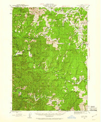
1942 · Crow
USGS Topo · 1:62,500
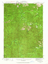
1942 · Roman Nose Mtn
USGS Topo · 1:62,500
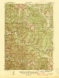
1945 · Crow
USGS Topo · 1:62,500
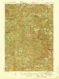
1945 · Roman Nose Mtn
USGS Topo · 1:62,500
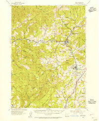
1954 · Drain
USGS Topo · 1:62,500
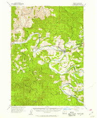
1955 · Elkton
USGS Topo · 1:62,500

1958 · Roseburg
USGS Topo · 1:250,000

1959 · Roseburg
USGS Topo · 1:250,000
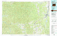
1979 · Cottage Grove
USGS Topo · 1:100,000
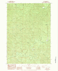
1984 · Gunter
USGS Topo · 1:24,000