
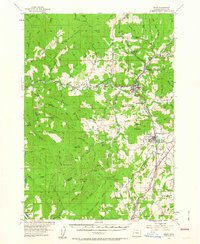
1954 Map of Drain
USGS Topo · Published 1956About this map
Drain and Yoncalla anchor this mid-century topographic record of the northern Umpqua River basin in Douglas County. The landscape is defined by the narrow valleys of Elk Creek and Yoncalla Creek, which dictated the path of the Southern Pacific railroad and Highway U. S. 99. These corridors connect the small settlements of Leona, Krewson, and Rice Hill, revealing the reliance on transportation and timber during the early 1950s.
Find a feature on this map
109 named features on this map. Tap any name to fly to it.
Don’t see what you’re looking for? This feature index may not catch every label — zoom into the map to look around manually.
Map Details
Editions of this 1954 Drain Map
2 editions found
Other maps of this area

1897 · Roseburg
USGS Topo · 1:125,000

1900 · Roseburg
USGS Topo · 1:125,000

1921 · Cottage Grove
USGS Topo · 1:62,500

1928 · Sitkum
USGS Topo · 1:125,000

1942 · Crow
USGS Topo · 1:62,500

1942 · Roman Nose Mtn
USGS Topo · 1:62,500

1945 · Crow
USGS Topo · 1:62,500

1945 · Roman Nose Mtn
USGS Topo · 1:62,500

1954 · Sutherlin
USGS Topo · 1:62,500

1954 · Anlauf
USGS Topo · 1:62,500