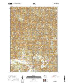
2020 Map of Elkton
USGS Topo · Published 2020About this map
The Umpqua River defines the southern reach of this Douglas County landscape, where the settlement of Elkton sits at the junction of the river and Elk Creek. This region is characterized by a complex network of ridges and drainages, with notable heights such as Hancock Mtn and Saddle Butte overseeing a series of creek valleys. The layout of the land reflects a history of both transportation and local ancestry, evidenced by the Elk Creek Tunnel 3437 and family-named sites like the Henderer Cem and Elkton Cem.
Find a feature on this map
52 named features on this map. Tap any name to fly to it.
Don’t see what you’re looking for? This feature index may not catch every label — zoom into the map to look around manually.
Map Details
Editions of this 2020 Elkton Map
This is the sole edition of this map. No revisions or reprints were ever made.
Other maps of this area

1942 · Crow
USGS Topo · 1:62,500

1942 · Roman Nose Mtn
USGS Topo · 1:62,500

1945 · Crow
USGS Topo · 1:62,500

1945 · Roman Nose Mtn
USGS Topo · 1:62,500

1954 · Drain
USGS Topo · 1:62,500

1955 · Elkton
USGS Topo · 1:62,500

1958 · Roseburg
USGS Topo · 1:250,000

1959 · Roseburg
USGS Topo · 1:250,000

1979 · Cottage Grove
USGS Topo · 1:100,000
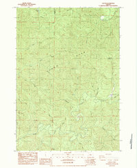
1984 · Gunter
USGS Topo · 1:24,000