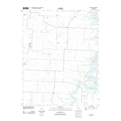
2011 Map of Elkton
USGS Topo · Published 2011About this map
Elkton and the surrounding rural landscapes of Polk County are defined by the winding course of Weaubleau Creek and the expansive waters of Pomme de Terre Lake. This 2011 survey documents a region where local heritage is preserved in numerous family and community burial grounds, including Rountree Cemetery, Cook Cemetery, and Tillery Cemetery. The presence of Skyriders Airport and small settlements like Rondo and Flemington illustrates the transition between traditional agricultural lands and modern recreational infrastructure near the lake.
Find a feature on this map
59 named features on this map. Tap any name to fly to it.
Don’t see what you’re looking for? This feature index may not catch every label — zoom into the map to look around manually.
Map Details
Editions of this 2011 Elkton Map
This is the sole edition of this map. No revisions or reprints were ever made.
Other maps of this area

1884 · Bolivar
USGS Topo · 1:125,000

1886 · Stockton
USGS Topo · 1:125,000

1892 · Bolivar
USGS Topo · 1:125,000

1940 · Weaubleau
USGS Topo · 1:24,000

1942 · Elkton
USGS Topo · 1:24,000

1944 · Humansville
USGS Topo · 1:24,000
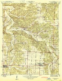
1944 · Weaubleau
USGS Topo · 1:24,000

1949 · Elkton
USGS Topo · 1:24,000

1949 · Sentinel
USGS Topo · 1:24,000

1950 · Elkton
USGS Topo · 1:24,000