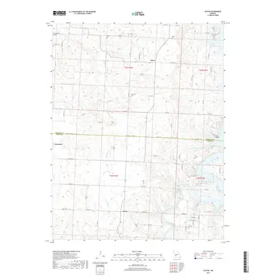
2017 Map of Elkton
USGS Topo · Published 2017About this map
Elkton sits at the heart of this landscape along the border of Hickory and Polk Counties, serving as a focal point for a region defined by its rural road network and winding waterways. The area is characterized by the presence of Pomme de Terre Lake and the Pomme de Terre River in the east, which shape the local drainage and topography. Small agricultural settlements like Flemington and Rondo are connected by a web of county roads and state highways, including State Hwy H and State Hwy O. Genealogy researchers will find several family-named burial sites across the township lines, such as Rountree Cem, McCracken Cem, and Tillery Cem. The terrain is etched by numerous tributaries including Weaubleau Cr and Stacey Br, while named hollows like Cave Spring Hollow and Horn Hollow offer specific markers of the local physical geography.
Find a feature on this map
68 named features on this map. Tap any name to fly to it.
Don’t see what you’re looking for? This feature index may not catch every label — zoom into the map to look around manually.
Map Details
Editions of this 2017 Elkton Map
This is the sole edition of this map. No revisions or reprints were ever made.
Other maps of this area
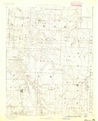
1884 · Bolivar
USGS Topo · 1:125,000
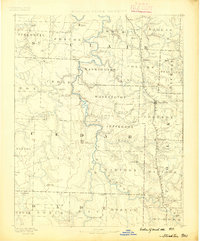
1886 · Stockton
USGS Topo · 1:125,000
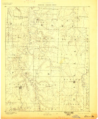
1892 · Bolivar
USGS Topo · 1:125,000
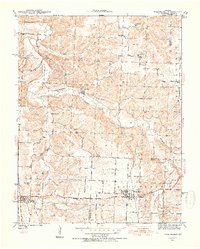
1940 · Weaubleau
USGS Topo · 1:24,000
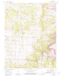
1942 · Elkton
USGS Topo · 1:24,000
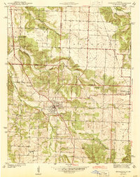
1944 · Humansville
USGS Topo · 1:24,000
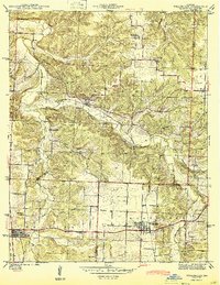
1944 · Weaubleau
USGS Topo · 1:24,000
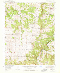
1949 · Elkton
USGS Topo · 1:24,000
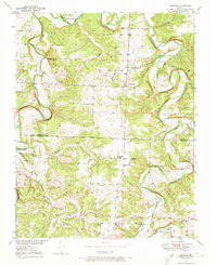
1949 · Sentinel
USGS Topo · 1:24,000
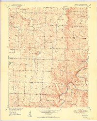
1950 · Elkton
USGS Topo · 1:24,000