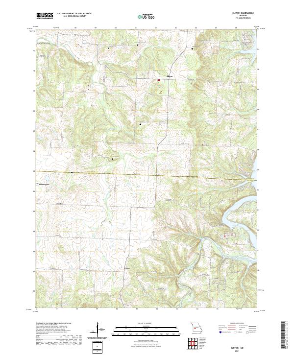
2021 Map of Elkton
USGS Topo · Published 2021About this map
Elkton sits at the heart of this Missouri survey, surrounded by a network of rural routes and family-named cemeteries that define the local genealogy of the Hickory County and Polk County borderlands. The landscape is deeply incised by the Pomme de Terre River to the southeast and the winding Weableau Cr that cuts across the central terrain.
Find a feature on this map
61 named features on this map. Tap any name to fly to it.
Don’t see what you’re looking for? This feature index may not catch every label — zoom into the map to look around manually.
Map Details
Editions of this 2021 Elkton Map
This is the sole edition of this map. No revisions or reprints were ever made.
Other maps of this area

1884 · Bolivar
USGS Topo · 1:125,000

1886 · Stockton
USGS Topo · 1:125,000

1892 · Bolivar
USGS Topo · 1:125,000

1940 · Weaubleau
USGS Topo · 1:24,000

1942 · Elkton
USGS Topo · 1:24,000

1944 · Humansville
USGS Topo · 1:24,000
1944 · Weaubleau
USGS Topo · 1:24,000

1949 · Elkton
USGS Topo · 1:24,000

1949 · Sentinel
USGS Topo · 1:24,000

1950 · Elkton
USGS Topo · 1:24,000