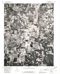
1980 Map of Elkton
USGS Topo · Published 1982About this map
Pomme De Terre Lake dominates the eastern landscape of this 1980 orthophotoquad, where the impounded waters meet the winding course of the Pomme De Terre River. The terrain is characterized by a patchwork of agricultural clearings and dense woodlands, shaped by the drainage of Weaubleau Creek as it cuts across the western half of the sheet. Unlike a traditional line-drawn map, this aerial perspective provides a clear view of the actual land use and vegetation patterns surrounding the small rural hubs of Elkton, Flemington, and Rondo. The proximity of these settlements to the river system highlights the historical reliance on local waterways before the modern lake expansion altered the valley's profile.
Find a feature on this map
6 named features on this map. Tap any name to fly to it.
Don’t see what you’re looking for? This feature index may not catch every label — zoom into the map to look around manually.
Map Details
Editions of this 1980 Elkton Map
This is the sole edition of this map. No revisions or reprints were ever made.
Other maps of this area

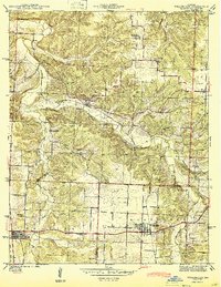
1884 · Bolivar
USGS Topo · 1:125,000

1886 · Stockton
USGS Topo · 1:125,000

1892 · Bolivar
USGS Topo · 1:125,000

1940 · Weaubleau
USGS Topo · 1:24,000

1942 · Elkton
USGS Topo · 1:24,000

1944 · Humansville
USGS Topo · 1:24,000
1944 · Weaubleau
USGS Topo · 1:24,000

1949 · Elkton
USGS Topo · 1:24,000

1949 · Sentinel
USGS Topo · 1:24,000

1950 · Elkton
USGS Topo · 1:24,000