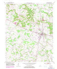
1951 Map of Elkton
USGS Topo · Published 1983About this map
Elkton serves as the central hub of this mid-century survey, situated at the convergence of several regional routes, including the Jefferson Davis National Highway. The landscape is defined by the winding paths of Whippoorwill Creek and the Elk Fork, which carve through the terrain surrounding the town. Local life and genealogy are well-documented through numerous rural institutions such as the Little Union Sch and churches including Philippi Ch, Bethel Church, and Stokes Chapel.
Find a feature on this map
23 named features on this map. Tap any name to fly to it.
Don’t see what you’re looking for? This feature index may not catch every label — zoom into the map to look around manually.
Map Details
Editions of this 1951 Elkton Map
3 editions found
Other maps of this area

1944 · Clarksville
USGS Topo · 1:50,000

1950 · Allensville
USGS Topo · 1:24,000

1950 · Guthrie
USGS Topo · 1:24,000

1950 · Pembroke
USGS Topo · 1:24,000

1950 · Olmstead
USGS Topo · 1:24,000

1951 · Pembroke
USGS Topo · 1:24,000

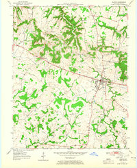
1951 · Elkton
USGS Topo · 1:24,000

1951 · Olmstead
USGS Topo · 1:24,000

1951 · Hammacksville
USGS Topo · 1:24,000

1952 · Sharon Grove
USGS Topo · 1:24,000