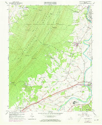
1965 Map of Elkton West
USGS Topo · Published 1973About this map
Massanutten Mountain dominates the western half of this Rockingham County landscape, its parallel ridges like First Mountain and Second Mountain defining the local topography. In the lowlands, the South Fork Shenandoah River winds past the community of Elkton, where the intersection of the Norfolk and Western and Chesapeake and Western railways shaped the local economy. The survey documents several rural crossroads including Greenwood, East Point, and Solsburg, each with its own local landmarks like Bethel Ch or the East Point Cem. This mid-century view captures the transition from the wilderness of the George Washington National Forest to the managed agricultural and industrial tracts near Shenandoah, including a Filtration Plant and Sewage Disposal sites that reflect the infrastructure of the era.
Find a feature on this map
68 named features on this map. Tap any name to fly to it.
Don’t see what you’re looking for? This feature index may not catch every label — zoom into the map to look around manually.
Map Details
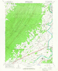
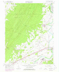
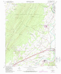
Editions of this 1965 Elkton West Map
4 editions found
Other maps of this area

1892 · Woodstock
USGS Topo · 1:125,000

1892 · Harrisonburg
USGS Topo · 1:125,000

1937 · Elkton
USGS Topo · 1:62,500

1941 · Harrisonburg
USGS Topo · 1:62,500

1942 · Mt Jackson
USGS Topo · 1:62,500

1943 · Harrisonburg
USGS Topo · 1:62,500

1946 · Mt Jackson
USGS Topo · 1:62,500

1947 · Mt Jackson
USGS Topo · 1:62,500

1947 · Broadway
USGS Topo · 1:62,500

1949 · Charlottesville
USGS Topo · 1:250,000