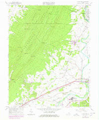
1965 Map of Elkton West
USGS Topo · Published 1978About this map
Massanutten Mountain dominates the western half of this landscape, its ridges organized as First Mountain through Fourth Mountain. The terrain transitions sharply from the protected slopes of the George Washington National Forest down into the fertile valley of the South Fork Shenandoah River. Along this corridor, the Norfolk and Western railway links the primary settlements of Elkton and McGaheysville, while smaller communities like East Point and Greenwood occupy the productive lowland between the river and the mountain gaps.
Find a feature on this map
62 named features on this map. Tap any name to fly to it.
Don’t see what you’re looking for? This feature index may not catch every label — zoom into the map to look around manually.
Map Details
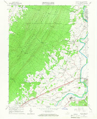
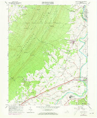
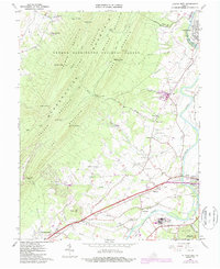
Editions of this 1965 Elkton West Map
4 editions found
Other maps of this area

1892 · Woodstock
USGS Topo · 1:125,000

1892 · Harrisonburg
USGS Topo · 1:125,000

1937 · Elkton
USGS Topo · 1:62,500

1941 · Harrisonburg
USGS Topo · 1:62,500

1942 · Mt Jackson
USGS Topo · 1:62,500

1943 · Harrisonburg
USGS Topo · 1:62,500

1946 · Mt Jackson
USGS Topo · 1:62,500

1947 · Mt Jackson
USGS Topo · 1:62,500

1947 · Broadway
USGS Topo · 1:62,500

1949 · Charlottesville
USGS Topo · 1:250,000