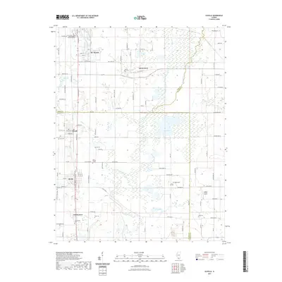
2021 Map of Elkville
USGS Topo · Published 2021About this map
Du Quoin and its historic counterpart Old Du Quoin anchor this landscape at the intersection of Perry, Jackson, and Franklin counties. The map details a corridor of southern Illinois settlements including Dowell, Elkville, and Hallidayboro, each once tied to the regional coal and rail economy. Local genealogy is well-supported by numerous burial grounds such as Old Du Quoin Cem, Gill Cem, and the remote Dutch Hill Cem near Dutch Hill. The drainage of the Little Muddy River and its tributaries like Reese Cr and Sixmile Creek define the low-lying terrain, which is punctuated by larger water bodies like Campbell Lake and Fox Lake. Education and modern infrastructure are represented by the John A Logan College - Alongi DuQuoin Extension Center and the Adams Private Airport to the east.
Find a feature on this map
106 named features on this map. Tap any name to fly to it.
Don’t see what you’re looking for? This feature index may not catch every label — zoom into the map to look around manually.
Map Details
Editions of this 2021 Elkville Map
This is the sole edition of this map. No revisions or reprints were ever made.
Other maps of this area

1910 · Herrin
USGS Topo · 1:62,500

1910 · Murphysboro
USGS Topo · 1:62,500

1924 · Pinckneyville
USGS Topo · 1:62,500

1926 · Pinckneyville
USGS Topo · 1:62,500

1926 · Duquoin
USGS Topo · 1:62,500

1936 · Herrin
USGS Topo · 1:62,500

1938 · Murphysboro
USGS Topo · 1:62,500

1949 · Paducah
USGS Topo · 1:250,000

1950 · Paducah
USGS Topo · 1:250,000

1954 · Paducah
USGS Topo · 1:250,000