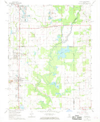
1968 Map of Elkville
USGS Topo · Published 1969About this map
Southern Illinois coal country and agricultural lands converge in this 1960s study of the area between Du Quoin and Elkville. The Illinois Central railroad serves as the primary north-south artery, passing through the labor-intensive industrial landscapes of Dowell and Hallidayboro, where several Mine Dumps and a Strip Mine mark the extraction economy of the period. This landscape is a patchwork of rural tradition and industrial development, characterized by the sprawling Du Quoin State Fairground and several family or community burial sites including Old Du Quoin Cem, Greer Cem, and Osage Cem.
Find a feature on this map
54 named features on this map. Tap any name to fly to it.
Don’t see what you’re looking for? This feature index may not catch every label — zoom into the map to look around manually.
Map Details
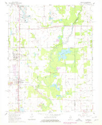
Editions of this 1968 Elkville Map
2 editions found
Other maps of this area

1910 · Herrin
USGS Topo · 1:62,500

1910 · Murphysboro
USGS Topo · 1:62,500

1924 · Pinckneyville
USGS Topo · 1:62,500

1926 · Pinckneyville
USGS Topo · 1:62,500

1926 · Duquoin
USGS Topo · 1:62,500

1936 · Herrin
USGS Topo · 1:62,500

1938 · Murphysboro
USGS Topo · 1:62,500

1949 · Paducah
USGS Topo · 1:250,000

1950 · Paducah
USGS Topo · 1:250,000

1954 · Paducah
USGS Topo · 1:250,000