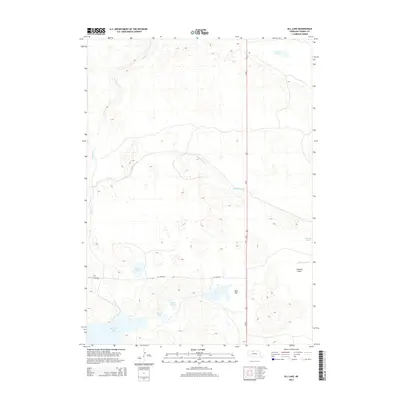
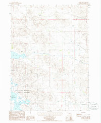
2014 Map of Ell Lake
USGS Topo · Published 2014About this map
Big Alkali Lake and a series of smaller water bodies define this portion of the Nebraska Sandhills, where the high water table creates a distinct wetland environment amidst the dunes. The map shows a landscape managed for both water transport and transit, with the Ainsworth Canal cutting across the central terrain to direct the region's limited water resources. Named topographic features like Lovejoy Flats and Bens Flat indicate the relatively level basins found between the rolling sand hills, which often host lakes such as Ell Lake, Smith Lake, and Bakers Lake. Human infrastructure is concentrated along the north-south corridor of Us-83 and the spur road Ne-168-Spur, which provide the primary access to these remote ranching and conservation lands. The drainage pattern of Schlagel Cr and Evergreen Cr further illustrates the complex hydrology of this unique prairie ecosystem.
Find a feature on this map
14 named features on this map. Tap any name to fly to it.
Don’t see what you’re looking for? This feature index may not catch every label — zoom into the map to look around manually.
Map Details
Editions of this 2014 Ell Lake Map
This is the sole edition of this map. No revisions or reprints were ever made.
Other maps of this area
1950 · Sparks
USGS Topo · 1:62,500
1950 · Simeon
USGS Topo · 1:62,500
1950 · Arabia
USGS Topo · 1:62,500
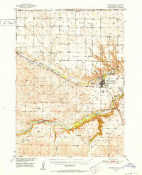
1950 · Valentine
USGS Topo · 1:62,500

1957 · Valentine
USGS Topo · 1:250,000

1959 · Valentine
USGS Topo · 1:250,000
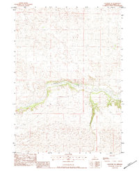
1983 · Valentine SW
USGS Topo · 1:24,000
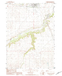
1983 · Valentine South
USGS Topo · 1:24,000
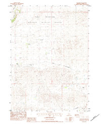
1983 · Thatcher
USGS Topo · 1:24,000
1985 · Arabia SW
USGS Topo · 1:24,000