
1983 Map of Valentine South
USGS Topo · Published 1984About this map
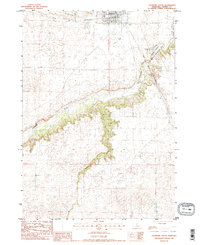
Valentine stands at the northern edge of this Nebraska Sandhills survey, where the Chicago and North Western railroad crosses the plains just north of the winding Niobrara River. This transition from the flat agricultural tableland to the deep, timbered breaks of the river valley is marked by significant local landmarks like Mt Hope Cem and the Fort Niobrara National Wildlife Refuge. The map details the municipal infrastructure of the early 1980s, including the City Water Well and Miller Field south of the town center.
Find a feature on this map
20 named features on this map. Tap any name to fly to it.
Don’t see what you’re looking for? This feature index may not catch every label — zoom into the map to look around manually.
Map Details
Editions of this 1983 Valentine South Map
2 editions found
Other maps of this area

1950 · Sparks
USGS Topo · 1:62,500

1950 · Simeon
USGS Topo · 1:62,500

1950 · Arabia
USGS Topo · 1:62,500

1950 · Valentine
USGS Topo · 1:62,500

1957 · Valentine
USGS Topo · 1:250,000

1959 · Valentine
USGS Topo · 1:250,000
1983 · Crookston East
USGS Topo · 1:24,000

1983 · Valentine SW
USGS Topo · 1:24,000
1983 · Valentine North
USGS Topo · 1:24,000
1983 · Thatcher
USGS Topo · 1:24,000