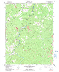
1977 Map of Ellamore
USGS Topo · Published 1991About this map
The Middle Fork River carves through the heart of this Appalachian landscape, serving as a natural divider between Upshur, Barbour, and Randolph counties. The settlement of Ellamore serves as a central hub, where the river meets the Railroad and roads like the Grade transition from the valley floor to the surrounding heights. Evidence of the region’s extractive history is visible in the scattered Strip Mine operations and numerous labels for Gas Wells and Oil Wells that dot the ridges and hollows, such as Hooppole Run and Devil Run.
Find a feature on this map
62 named features on this map. Tap any name to fly to it.
Don’t see what you’re looking for? This feature index may not catch every label — zoom into the map to look around manually.
Map Details
Editions of this 1977 Ellamore Map
2 editions found
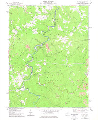
Other maps of this area

1886 · St. George
USGS Topo · 1:125,000

1889 · Beverly
USGS Topo · 1:125,000

1891 · St. George
USGS Topo · 1:125,000

1892 · Beverly
USGS Topo · 1:125,000

1893 · Buckhannon
USGS Topo · 1:125,000

1896 · Buckhannon
USGS Topo · 1:125,000

1897 · Buckhannon
USGS Topo · 1:125,000

1904 · Philippi
USGS Topo · 1:62,500

1907 · Belington
USGS Topo · 1:62,500

1909 · Elkins
USGS Topo · 1:62,500