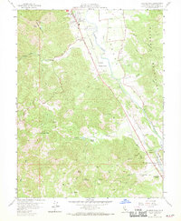
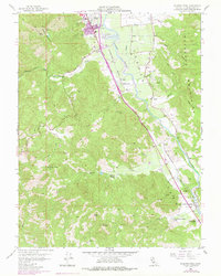
1958 Map of Elledge Peak
USGS Topo · Published 1970About this map
The Russian River valley south of Ukiah serves as a vital corridor for both agriculture and transportation in this late 1950s survey. The Northwestern Pacific railroad and the Redwood Highway parallel the river through the Yokaya and Sanel lands, linking a series of named ranching estates. Family-owned tracts such as McNab Ranch, the W L Crawford Ranch, and Burnie Hill Ranch dominate the valley floor and lower foothills, illustrating the region's mid-century rural character. In the uplands to the west, the landscape rises sharply toward Elledge Peak and Cleland Mountain, where the terrain is marked by isolated Springs and rugged ranching outposts like Bus McCall. Near the river, an Indian Cemetery and the small settlement of El Roble provide specific points of interest for genealogists and local historians tracking the development of Mendocino County's interior.
Find a feature on this map
39 named features on this map. Tap any name to fly to it.
Don’t see what you’re looking for? This feature index may not catch every label — zoom into the map to look around manually.
Map Details
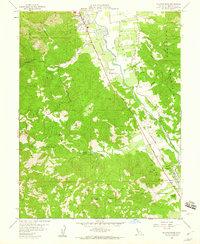
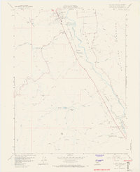
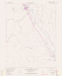
Editions of this 1958 Elledge Peak Map
5 editions found
Other maps of this area

1920 · Ukiah
USGS Topo · 1:62,500

1938 · Hopland
USGS Topo · 1:62,500

1943 · Boonville
USGS Topo · 1:62,500

1943 · Hopland
USGS Topo · 1:62,500

1943 · Ornbaun
USGS Topo · 1:62,500

1944 · Ukiah
USGS Topo · 1:62,500

1944 · Ornbaun
USGS Topo · 1:62,500

1944 · Hopland
USGS Topo · 1:62,500

1947 · Santa Rosa
USGS Topo · 1:250,000

1949 · Santa Rosa
USGS Topo · 1:250,000