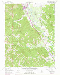
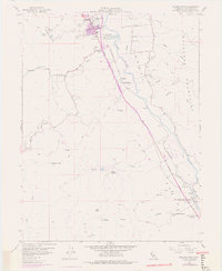
1958 Map of Elledge Peak
USGS Topo · Published 1978About this map
The Russian River valley south of Ukiah serves as a vital corridor for both agriculture and transportation on this 1958 survey, updated with 1975 revisions. The landscape is defined by the contrast between the flat, fertile Yokaya valley floor and the rising heights of the Mayacmas Mountains to the east and Cleveland Mountain to the west. The Northwestern Pacific railroad and the Redwood Highway trace the river's path, connecting small settlements and ranching outposts like El Roble and Largo.
Find a feature on this map
39 named features on this map. Tap any name to fly to it.
Don’t see what you’re looking for? This feature index may not catch every label — zoom into the map to look around manually.
Map Details
Editions of this 1958 Elledge Peak Map
5 editions found
Other maps of this area

1920 · Ukiah
USGS Topo · 1:62,500

1938 · Hopland
USGS Topo · 1:62,500

1943 · Boonville
USGS Topo · 1:62,500

1943 · Hopland
USGS Topo · 1:62,500

1943 · Ornbaun
USGS Topo · 1:62,500

1944 · Ukiah
USGS Topo · 1:62,500

1944 · Ornbaun
USGS Topo · 1:62,500

1944 · Hopland
USGS Topo · 1:62,500

1947 · Santa Rosa
USGS Topo · 1:250,000

1949 · Santa Rosa
USGS Topo · 1:250,000