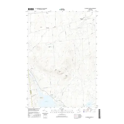
2016 Map of Ellenburg Center
USGS Topo · Published 2016About this map
Ellenburg Center and the village of Merrill anchor this survey of the northern Adirondack region near the Clinton and Franklin county line. The landscape is defined by the transition from the high elevations of Hazeltine Hill and Panther Hill down to the shores of Upper Chateaugay Lake. Genealogists will find significant value in the documentation of several rural burial grounds, including Star Road Cem, West Hill Cem, and Hutchins Cem, which serve as markers for the area's early families. Waterways like the N Br Great Chazy River and Thurber Brook wind through a network of rural routes such as Steam Mill Rd and Vanderbogart Rd. The southern portion of the map covers the protected lands of the Adirondack Park Preserve, showing the proximity of these settlements to the wilder stretches of the Adirondack Park.
Find a feature on this map
51 named features on this map. Tap any name to fly to it.
Don’t see what you’re looking for? This feature index may not catch every label — zoom into the map to look around manually.
Map Details
Editions of this 2016 Ellenburg Center Map
This is the sole edition of this map. No revisions or reprints were ever made.
Other maps of this area

1906 · Loon Lake
USGS Topo · 1:62,500

1908 · Loon Lake
USGS Topo · 1:62,500

1911 · Lyon Mountain
USGS Topo · 1:62,500

1913 · Lyon Mountain
USGS Topo · 1:62,500

1915 · Churubusco
USGS Topo · 1:62,500

1915 · Chateaugay
USGS Topo · 1:62,500

1931 · Lyon Mountain
USGS Topo · 1:62,500

1943 · Churubusco
USGS Topo · 1:62,500

1943 · Chateaugay
USGS Topo · 1:62,500

1948 · Ogdensburg
USGS Topo · 1:250,000