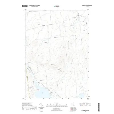
2019 Map of Ellenburg Center
USGS Topo · Published 2019About this map
Ellenburg Center and the small hamlet of Merrill serve as the primary hubs in this corner of Clinton County, situated just within the boundary of the Adirondack Park Preserve. The landscape is defined by the high peaks of the northern Adirondacks, including Spruce Hill, Panther Hill, and West Hill, which shed water into various drainages like the N Br Great Chazy River and Thurber Brook.
Find a feature on this map
51 named features on this map. Tap any name to fly to it.
Don’t see what you’re looking for? This feature index may not catch every label — zoom into the map to look around manually.
Map Details
Editions of this 2019 Ellenburg Center Map
This is the sole edition of this map. No revisions or reprints were ever made.
Other maps of this area

1906 · Loon Lake
USGS Topo · 1:62,500

1908 · Loon Lake
USGS Topo · 1:62,500

1911 · Lyon Mountain
USGS Topo · 1:62,500

1913 · Lyon Mountain
USGS Topo · 1:62,500

1915 · Churubusco
USGS Topo · 1:62,500

1915 · Chateaugay
USGS Topo · 1:62,500

1931 · Lyon Mountain
USGS Topo · 1:62,500

1943 · Churubusco
USGS Topo · 1:62,500

1943 · Chateaugay
USGS Topo · 1:62,500

1948 · Ogdensburg
USGS Topo · 1:250,000