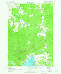
1964 Map of Ellenburg Mountain
USGS Topo · Published 1966About this map
Chazy Lake dominates the southern landscape of this 1960s survey, its waters reaching into Seine Bay near the base of Topknot Mountain. The region is defined by the heavy presence of the Adirondack State Park and the State Forest Preserve, where the terrain rises sharply toward the summit of Ellenburg Mountain. Human activity is concentrated along the periphery of these protected lands, with the small settlement of Ledger Corners serving as a local crossroads in the southeast.
Find a feature on this map
34 named features on this map. Tap any name to fly to it.
Don’t see what you’re looking for? This feature index may not catch every label — zoom into the map to look around manually.
Map Details
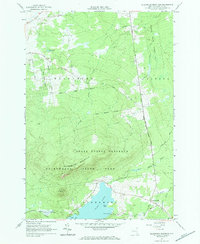
Editions of this 1964 Ellenburg Mountain Map
2 editions found
Other maps of this area

1895 · Mooers
USGS Topo · 1:62,500

1899 · Mooers
USGS Topo · 1:62,500

1911 · Lyon Mountain
USGS Topo · 1:62,500

1913 · Dannemora
USGS Topo · 1:62,500

1913 · Lyon Mountain
USGS Topo · 1:62,500

1915 · Churubusco
USGS Topo · 1:62,500

1931 · Lyon Mountain
USGS Topo · 1:62,500

1942 · Mooers
USGS Topo · 1:62,500

1943 · Churubusco
USGS Topo · 1:62,500

1943 · Mooers
USGS Topo · 1:62,500