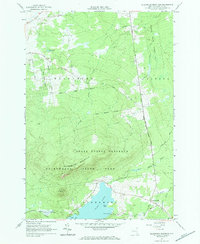
1964 Map of Ellenburg Mountain
USGS Topo · Published 1984About this map
Ellenburg Mountain and Topknot Mountain dominate this northern Clinton County terrain, marking a heavily forested landscape within the Adirondack State Park. The map documents a mid-1960s transition from high-elevation wilderness to the settled valleys and shorelines. To the south, Chazy Lake features prominent landmarks like Eagle Point and Seine Bay, where a Pumping Station and the Aqueduct Road suggest local infrastructure needs.
Find a feature on this map
33 named features on this map. Tap any name to fly to it.
Don’t see what you’re looking for? This feature index may not catch every label — zoom into the map to look around manually.
Map Details
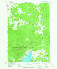
Editions of this 1964 Ellenburg Mountain Map
2 editions found
Other maps of this area

1895 · Mooers
USGS Topo · 1:62,500

1899 · Mooers
USGS Topo · 1:62,500

1911 · Lyon Mountain
USGS Topo · 1:62,500

1913 · Dannemora
USGS Topo · 1:62,500

1913 · Lyon Mountain
USGS Topo · 1:62,500

1915 · Churubusco
USGS Topo · 1:62,500

1931 · Lyon Mountain
USGS Topo · 1:62,500

1942 · Mooers
USGS Topo · 1:62,500

1943 · Churubusco
USGS Topo · 1:62,500

1943 · Mooers
USGS Topo · 1:62,500