2024 Map of Ellendale South
USGS Topo · Published 2024About this map
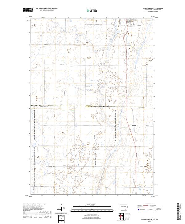
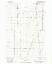
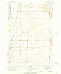
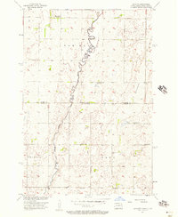
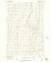
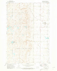
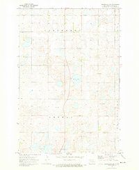
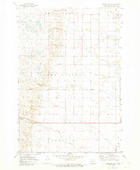
The southern outskirts of Ellendale anchor this 2024 survey at the border of the Dakotas. The landscape is defined by the transition between Dickey Co, North Dakota, and Brown Co, South Dakota, where the prairie is etched by the meandering courses of Sewer Branch and Dry Branch. This modern topographic study reveals a precise grid of rural routes, including 384th Ave and SE 98th St, which organize the agricultural land between the city and the small community of Winship. The map detail emphasizes the persistent boundary lines of t129n r63w and surrounding townships, providing a clear view of the contemporary rural infrastructure and water drainage patterns that have shaped this borderland for generations.
Find a feature on this map
39 named features on this map. Tap any name to fly to it.
Don’t see what you’re looking for? This feature index may not catch every label — zoom into the map to look around manually.
Map Details
Editions of this 2024 Ellendale South Map
This is the sole edition of this map. No revisions or reprints were ever made.
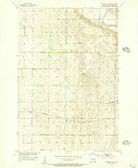
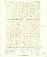
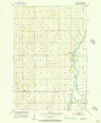
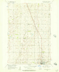
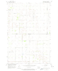
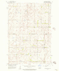
Historical Maps of Palmyra Township Through Time
36 maps found

1894 Savo
Dickey County, ND
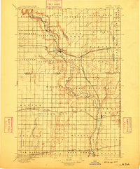
1895 Lamoure
Dickey County, ND
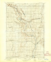
1918 La Moure
Dickey County, ND
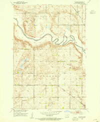
1952 Glover
Dickey County, ND
1953 Ellendale South
Dickey County, ND
1955 Fullerton NE
Dickey County, ND
1955 Fullerton SE
Dickey County, ND
1955 Guelph
Dickey County, ND
1955 Oakes SE
Dickey County, ND
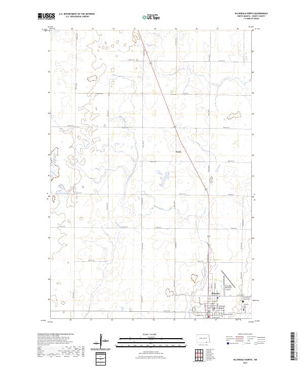
1956 Ellendale North
Dickey County, ND
1956 Hecla NE
Dickey County, ND
1956 Savo NE
Dickey County, ND
1956 Savo NW
Dickey County, ND
1956 Silverleaf
Dickey County, ND
1971 Merricourt
Dickey County, ND
1971 Merricourt NW
Dickey County, ND
1971 Merricourt SE
Dickey County, ND
1971 Merricourt SW
Dickey County, ND
1982 Monango NW
Dickey County, ND
1982 Monango SW
Dickey County, ND
1986 La Moure
Dickey County, ND
2024 Ellendale North
Dickey County, ND
2024 Ellendale South
Dickey County, ND
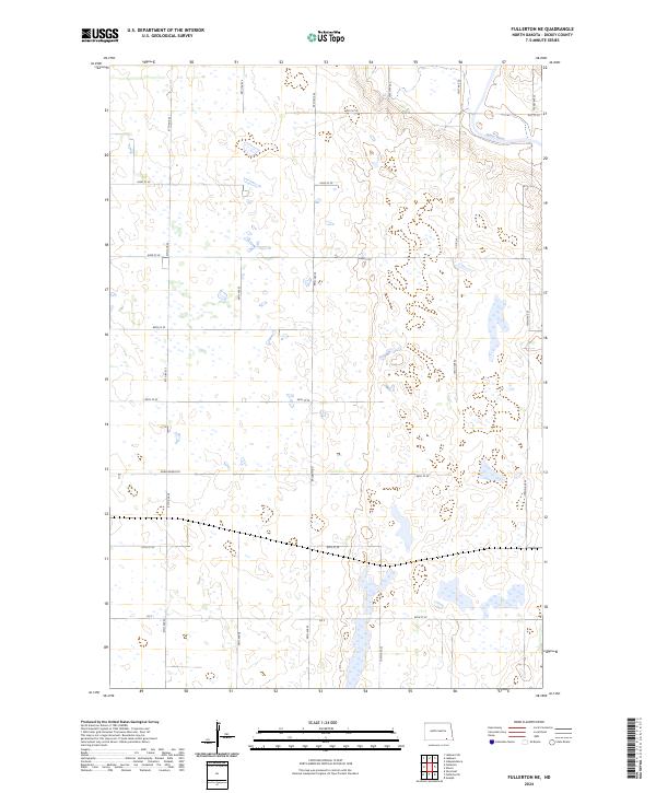
2024 Fullerton NE
Dickey County, ND
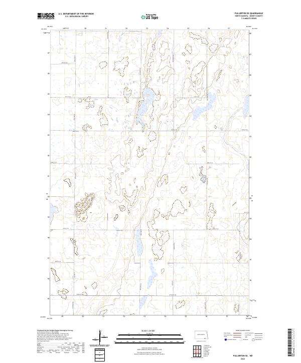
2024 Fullerton SE
Dickey County, ND
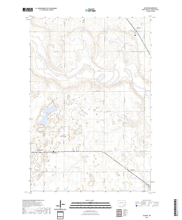
2024 Glover
Dickey County, ND
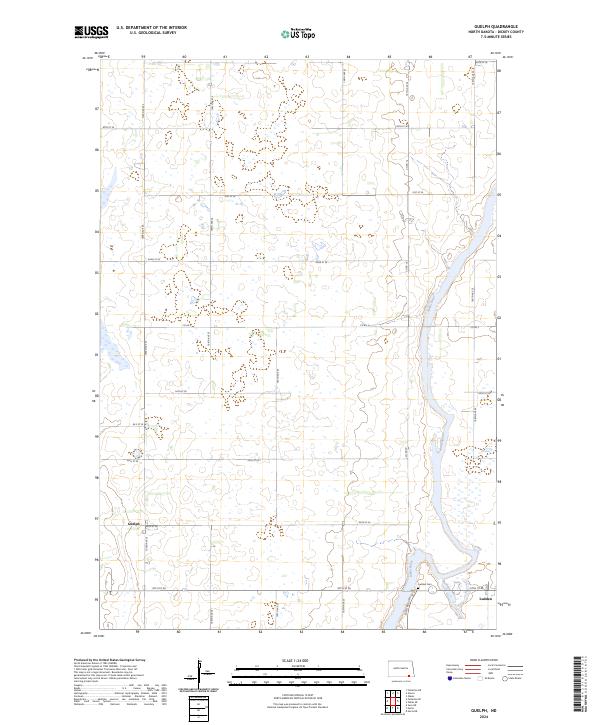
2024 Guelph
Dickey County, ND
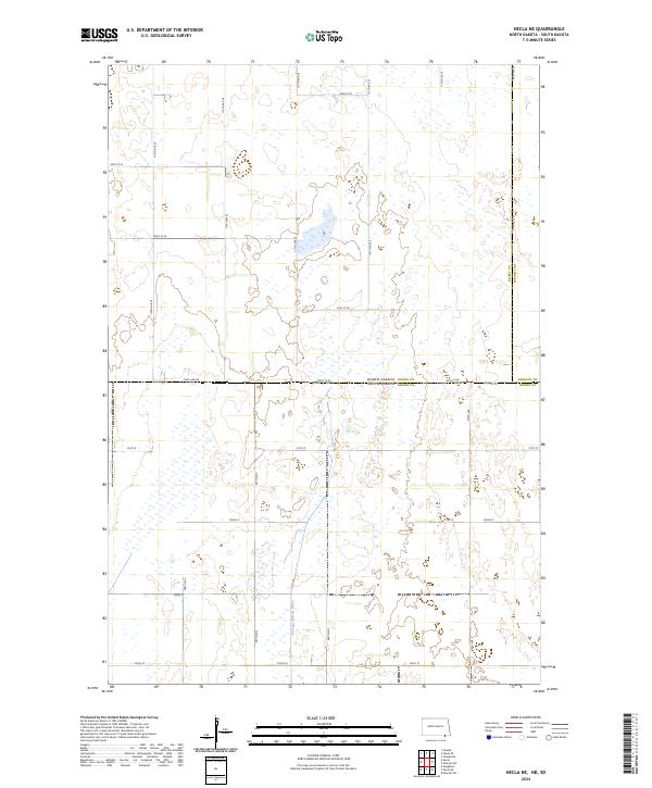
2024 Hecla NE
Dickey County, ND
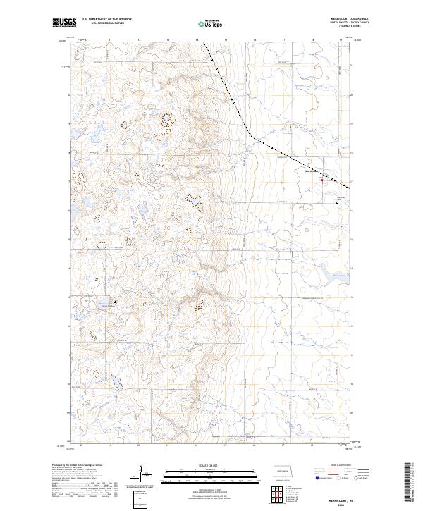
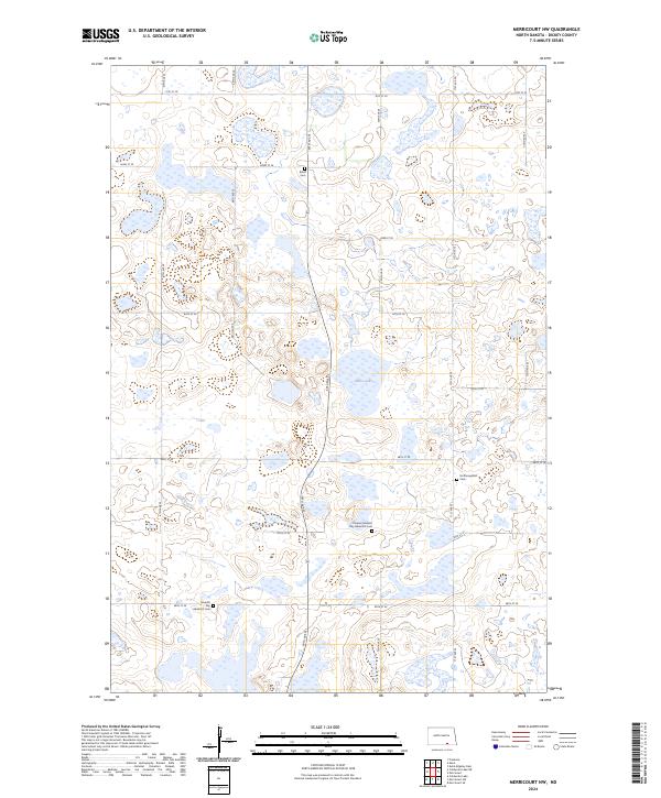
2024 Merricourt
Dickey County, ND
2024 Merricourt NW
Dickey County, ND
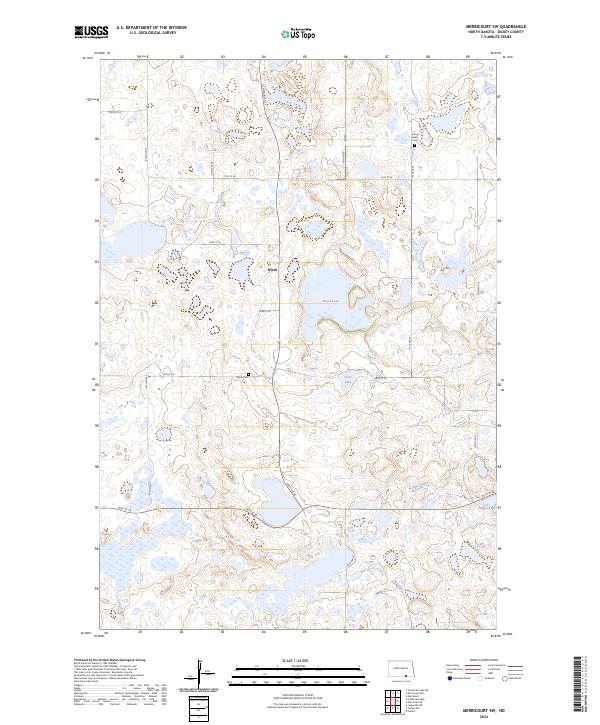
2024 Merricourt SE
Dickey County, ND
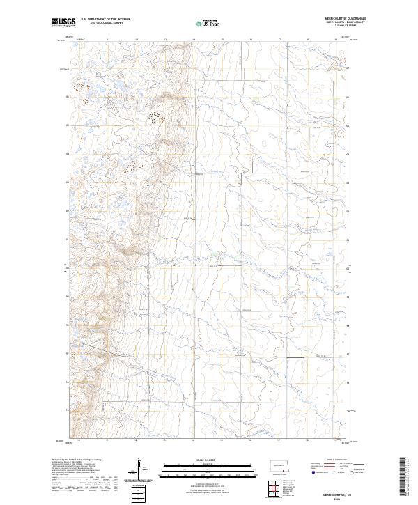
2024 Merricourt SW
Dickey County, ND
2024 Monango NW
Dickey County, ND
2024 Monango SW
Dickey County, ND
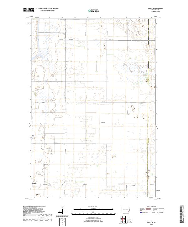
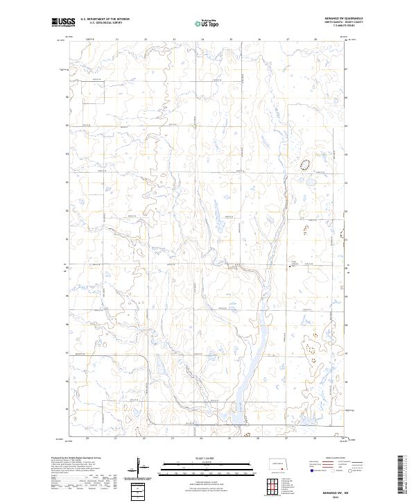
2024 Oakes SE
Dickey County, ND
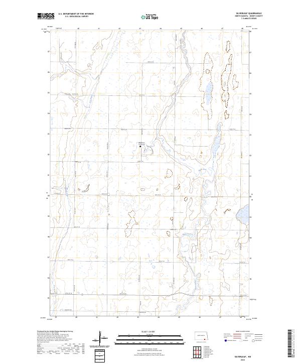
2024 Silverleaf
Dickey County, ND