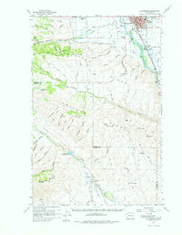
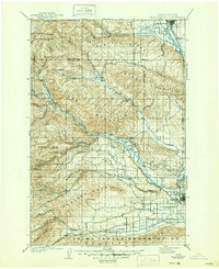
1901 Map of Ellensburg
USGS Topo · Published 1901About this map
Ellensburg sits at the northern end of this central Washington landscape, where the Northern Pacific Railway follows the course of the Yakima River. The map depicts a rugged mountain-and-valley geography at the turn of the century, dominated by high-relief features like Cleman Mountain and Cowiche Mountain. Settlement is concentrated in the fertile pockets, particularly near North Yakima and in the Selah Valley. The southern portion of the survey is anchored by the Yakima Indian Reservation, while the interior remains sparsely populated with small outposts such as Nile and Tampico. The presence of the Old Durr Road cutting through Umptanum Ridge highlights the early overland routes used to navigate these formidable ridges before modern highway development.
Find a feature on this map
46 named features on this map. Tap any name to fly to it.
Don’t see what you’re looking for? This feature index may not catch every label — zoom into the map to look around manually.
Map Details
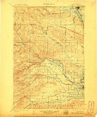
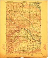
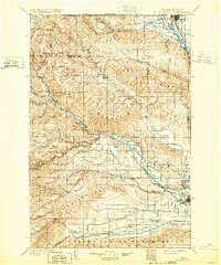
Editions of this 1901 Ellensburg Map
6 editions found
Historical Maps of Riverview Manor Through Time
3 maps found