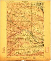
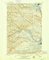
1901 Map of Ellensburg
USGS Topo · Published 1912About this map
The Yakima River corridor and its surrounding highlands define this early 20th-century landscape, anchored by the growing hubs of Ellensburg and North Yakima. This survey, conducted at the close of the 1890s, documents a critical transition in Central Washington's development, where the Northern Pacific RR follows the river's bend past Thrall and through the rugged gaps of Manastash Ridge and Umptanum Ridge. The map reveals the intricate network of canyons and creeks feeding the valleys, including Wenas Creek and the Naches River, which supported early settlements like Nile and Cowiche.
Find a feature on this map
52 named features on this map. Tap any name to fly to it.
Don’t see what you’re looking for? This feature index may not catch every label — zoom into the map to look around manually.
Map Details
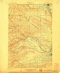
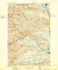
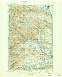
Editions of this 1901 Ellensburg Map
6 editions found
Other maps of this area

1897 · Mount Stuart
USGS Topo · 1:125,000

1899 · Ellensburg
USGS Topo · 1:125,000

1901 · Ellensburg
USGS Topo · 1:125,000

1901 · Snoqualmie Pass
USGS Topo · 1:125,000

1902 · Mount Aix
USGS Topo · 1:125,000

1902 · Mount Stuart
USGS Topo · 1:125,000

1903 · Snoqualmie
USGS Topo · 1:125,000

1904 · Mt Aix
USGS Topo · 1:125,000

1904 · Mount Adams
USGS Topo · 1:125,000

1907 · Mount Adams
USGS Topo · 1:125,000