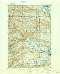
1901 Map of Ellensburg
USGS Topo · Published 1947About this map
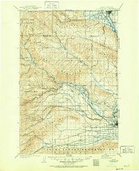
Ellensburg and Yakima anchor this turn-of-the-century landscape, connected by the vital corridor of the Northern Pacific R. R. as it follows the Yakima River. The map captures a pivotal moment of expansion in the central Washington valleys, documenting early settlements like Selah, Wenas, and Nile before modern irrigation and interstate development transformed the terrain. To the west, the boundaries of the Wenatchee National Forest and Snoqualmie National Forest meet high ridgelines, including the prominent Manastash Ridge and Cleman Mountain. In the south, the Yakima Indian Reservation begins along Ahtanum Creek, while the remote Old Durr Road provides a glimpse into the rugged transport network of the late 1800s. The dense web of mountain forks feeding the Tieton River and Naches River illustrates the complex hydrology that would soon support the region's agricultural boom.
Find a feature on this map
52 named features on this map. Tap any name to fly to it.
Don’t see what you’re looking for? This feature index may not catch every label — zoom into the map to look around manually.
Map Details
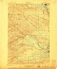
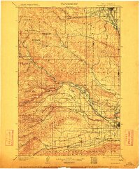
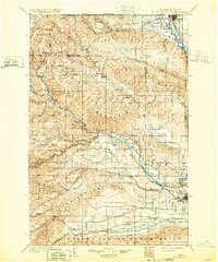
Editions of this 1901 Ellensburg Map
6 editions found
Other maps of this area

1897 · Mount Stuart
USGS Topo · 1:125,000

1899 · Ellensburg
USGS Topo · 1:125,000

1901 · Ellensburg
USGS Topo · 1:125,000

1901 · Snoqualmie Pass
USGS Topo · 1:125,000

1902 · Mount Aix
USGS Topo · 1:125,000

1902 · Mount Stuart
USGS Topo · 1:125,000

1903 · Snoqualmie
USGS Topo · 1:125,000

1904 · Mt Aix
USGS Topo · 1:125,000

1904 · Mount Adams
USGS Topo · 1:125,000

1907 · Mount Adams
USGS Topo · 1:125,000