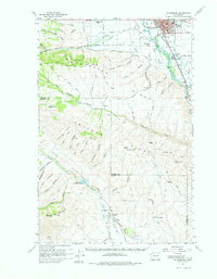
1958 Map of Ellensburg
USGS Topo · Published 1976About this map
Ellensburg serves as the focal point for this late 1950s survey of the central Washington interior, where the Yakima River cuts through the heavy folds of Manastash Ridge and Umtanum Ridge. The landscape is a study in early water management and transportation, featuring the complex network of the Wenas Canal and the Northern Pacific and Milwaukee Road railways. South of the city, the small settlement of Thrall and the family-named Tjossem Pond mark the transition into the arid canyon lands.
Find a feature on this map
64 named features on this map. Tap any name to fly to it.
Don’t see what you’re looking for? This feature index may not catch every label — zoom into the map to look around manually.
Map Details
Editions of this 1958 Ellensburg Map
2 editions found

Other maps of this area

1897 · Mount Stuart
USGS Topo · 1:125,000

1899 · Ellensburg
USGS Topo · 1:125,000

1901 · Ellensburg
USGS Topo · 1:125,000

1902 · Mount Stuart
USGS Topo · 1:125,000

1920 · Colockum Pass
USGS Topo · 1:125,000

1922 · Colockum Pass
USGS Topo · 1:125,000

1936 · Yakima East
USGS Topo · 1:48,000

1938 · Badger Pocket
USGS Topo · 1:48,000

1941 · Yakima East
USGS Topo · 1:62,500

1943 · Badger Pocket
USGS Topo · 1:62,500