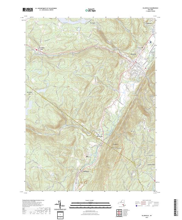
2023 Map of Ellenville
USGS Topo · Published 2023About this map
Ellenville serves as the primary hub in this corner of the Catskills foothills, where the valley floor transitions into the heights of the Shawangunk Mountains. The village is dense with local history, from the Fantinekill Cem to the modern operations at the Joseph Y Resnick Airport. Following the southwest-northeast axis of the valley, the Delaware and Hudson Canal remains a visible historical scar on the landscape, running parallel to Sandburg Creek and passing through the settlements of Phillipsport and Spring Glen.
Find a feature on this map
143 named features on this map. Tap any name to fly to it.
Don’t see what you’re looking for? This feature index may not catch every label — zoom into the map to look around manually.
Map Details
Editions of this 2023 Ellenville Map
This is the sole edition of this map. No revisions or reprints were ever made.
Other maps of this area

1903 · Slide Mountain
USGS Topo · 1:62,500

1904 · Ellenville
USGS Topo · 1:62,500

1905 · Slide Mountain
USGS Topo · 1:62,500

1906 · Ellenville
USGS Topo · 1:62,500

1909 · Monticello
USGS Topo · 1:62,500

1910 · Neversink
USGS Topo · 1:62,500

1911 · Monticello
USGS Topo · 1:62,500

1942 · Neversink
USGS Topo · 1:62,500

1942 · Lackawack
USGS Topo · 1:24,000

1942 · Kerhonkson
USGS Topo · 1:24,000