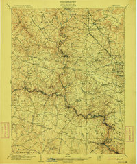
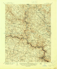
1906 Map of Ellicott
USGS Topo · Published 1911About this map
The Patapsco River and its numerous tributaries, including the North Branch Patapsco River, define the landscape of this Maryland region at the start of the 20th century. Major transportation corridors like the Western Maryland RR and Maryland Electric RR facilitate movement between established settlements such as Reisterstown, Owings Mills, and the industrial hub of Ellicott City. These rail lines follow the valleys, connecting smaller milling and farming communities like Gwynnbrook and Alberton to the larger Baltimore markets.
Find a feature on this map
118 named features on this map. Tap any name to fly to it.
Don’t see what you’re looking for? This feature index may not catch every label — zoom into the map to look around manually.
Map Details
Editions of this 1906 Ellicott Map
6 editions found

Other maps of this area

1892 · Laurel
USGS Topo · 1:62,500

1892 · Ellicott
USGS Topo · 1:62,500

1893 · Frederick
USGS Topo · 1:125,000

1894 · Ellicott
USGS Topo · 1:62,500

1894 · Laurel
USGS Topo · 1:62,500

1894 · Baltimore
USGS Topo · 1:62,500

1894 · Frederick
USGS Topo · 1:125,000

1894 · Relay
USGS Topo · 1:62,500

1897 · Laurel
USGS Topo · 1:62,500

1899 · Baltimore
USGS Topo · 1:62,500