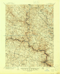
1906 Map of Ellicott
USGS Topo · Published 1944About this map
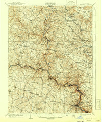
Doughoregan Manor stands as a focal point of this landscape, reflecting the prominent Carroll family legacy in the rolling hills west of Baltimore. Surveyed just after the turn of the century, the map reveals a complex network of turnpikes and rail lines connecting established settlements like Owings Mills, Reisterstown, and Randallstown. The North Branch Patapsco River and South Branch Patapsco River wind through the terrain, meeting at the confluence that would later be transformed by regional water projects. Institutional landmarks such as St Charles College, the McDonogh School, and Springfield Hospital appear alongside smaller community anchors like Wards Chapel. The industrial and agricultural character of the era is evident in the placement of Carroll's Mill and the convergence of the Western Maryland RR and the Baltimore and Ohio RR near Ellicott City.
Find a feature on this map
116 named features on this map. Tap any name to fly to it.
Don’t see what you’re looking for? This feature index may not catch every label — zoom into the map to look around manually.
Map Details
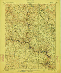
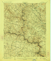
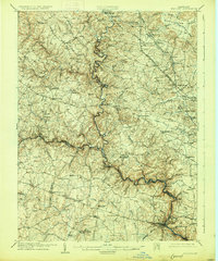
Editions of this 1906 Ellicott Map
6 editions found

Other maps of this area

1892 · Laurel
USGS Topo · 1:62,500

1892 · Ellicott
USGS Topo · 1:62,500

1893 · Frederick
USGS Topo · 1:125,000

1894 · Ellicott
USGS Topo · 1:62,500

1894 · Laurel
USGS Topo · 1:62,500

1894 · Baltimore
USGS Topo · 1:62,500

1894 · Frederick
USGS Topo · 1:125,000

1894 · Relay
USGS Topo · 1:62,500

1897 · Laurel
USGS Topo · 1:62,500

1899 · Baltimore
USGS Topo · 1:62,500