
1906 Map of Ellicott
USGS Topo · Published 1906About this map
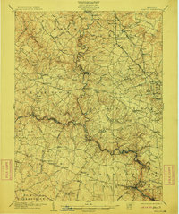
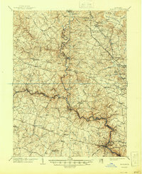
The North Branch Patapsco River carves a deep, winding path through the center of this Maryland landscape, serving as a defining boundary for several regional districts. In the early 20th century, the region was characterized by established settlements and significant institutional landmarks like the Springfield Hospital and educational hubs such as St Charles College and the Mc Donogh School. The transport network is a highlight, showing the convergence of the Western Maryland R. R. and Northern Central R. R. alongside historic thoroughfares like the Liberty Turnpike and Old Court Road. Genealogists and local historians can trace family-named locations such as Gwynnbrook, Owings Mills, and Reisterstown. Industrial history is represented by sites like Glee Mill and several turnpikes that connected the agricultural hinterland to the growing rail hubs.
Find a feature on this map
114 named features on this map. Tap any name to fly to it.
Don’t see what you’re looking for? This feature index may not catch every label — zoom into the map to look around manually.
Map Details
Editions of this 1906 Ellicott Map
6 editions found
Other maps of this area

1892 · Laurel
USGS Topo · 1:62,500

1892 · Ellicott
USGS Topo · 1:62,500

1893 · Frederick
USGS Topo · 1:125,000

1894 · Ellicott
USGS Topo · 1:62,500

1894 · Laurel
USGS Topo · 1:62,500

1894 · Baltimore
USGS Topo · 1:62,500

1894 · Frederick
USGS Topo · 1:125,000

1894 · Relay
USGS Topo · 1:62,500

1897 · Laurel
USGS Topo · 1:62,500

1899 · Baltimore
USGS Topo · 1:62,500