
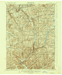
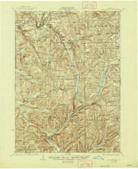
1924 Map of Ellicottville
USGS Topo · Published 1924About this map
The village of Ellicottville and the winding course of the Buffalo Rochester and Pittsburgh Railroad anchor this 1920s survey of Cattaraugus County. The landscape is a complex network of narrow valleys and named heights like Mc Carty Hill and Tug Hill, where local life centered around a remarkable density of rural schoolhouses and small settlements. From the northern bend of Cattaraugus Creek at Cascade Park down to the valley floors of Great Valley Creek, the map documents a transition from early industrial rail hubs like Riceville Sta. to the quiet crossroads of Thomas Corners and Bakerstand.
Find a feature on this map
110 named features on this map. Tap any name to fly to it.
Don’t see what you’re looking for? This feature index may not catch every label — zoom into the map to look around manually.
Map Details
Editions of this 1924 Ellicottville Map
3 editions found
Other maps of this area

1898 · Olean
USGS Topo · 1:62,500

1900 · Salamanca
USGS Topo · 1:62,500

1905 · Eden
USGS Topo · 1:62,500

1907 · Eden
USGS Topo · 1:62,500

1922 · Randolph
USGS Topo · 1:62,500

1923 · Randolph
USGS Topo · 1:62,500

1923 · Cattaraugus
USGS Topo · 1:62,500

1923 · Arcade
USGS Topo · 1:62,500

1924 · Franklinville
USGS Topo · 1:62,500

1925 · Springville
USGS Topo · 1:62,500