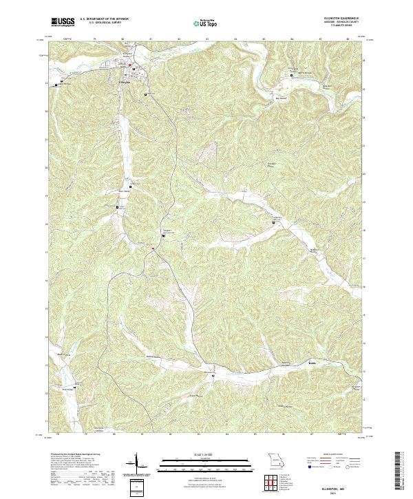
2021 Map of Ellington
USGS Topo · Published 2021About this map
Ellington serves as the primary hub of this Missouri landscape, where local life centers around Walnut St and Main St. The surrounding terrain is defined by a dense network of hollows and valleys, including Ellington Hollow, Darr Valley, and Buckskull Hollow, which dictate the winding paths of rural routes like State Hwy H and Co Rd 614.
Find a feature on this map
90 named features on this map. Tap any name to fly to it.
Don’t see what you’re looking for? This feature index may not catch every label — zoom into the map to look around manually.
Map Details
Editions of this 2021 Ellington Map
This is the sole edition of this map. No revisions or reprints were ever made.
Other maps of this area

1928 · Cardareva
USGS Topo · 1:62,500

1943 · Ellington
USGS Topo · 1:62,500

1943 · Lesterville
USGS Topo · 1:62,500

1944 · Corridon
USGS Topo · 1:62,500

1945 · Ellington
USGS Topo · 1:62,500

1946 · Lesterville
USGS Topo · 1:62,500

1947 · Corridon
USGS Topo · 1:62,500

1949 · Rolla
USGS Topo · 1:250,000

1949 · Cardareva
USGS Topo · 1:62,500

1953 · Rolla
USGS Topo · 1:250,000