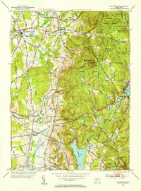
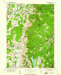
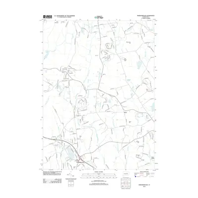
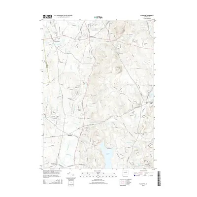
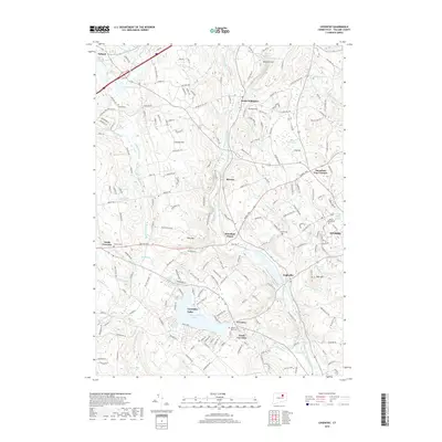
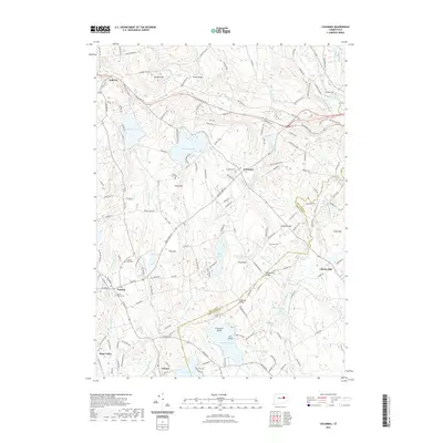
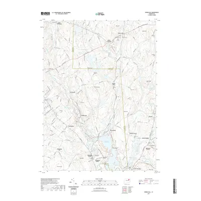
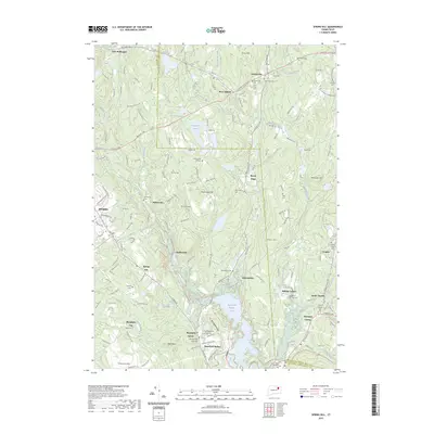
1953 Map of Ellington
USGS Topo · Published 1955About this map
Shenipsit State Forest dominates the high, wooded terrain of north-central Connecticut in this early 1950s survey. The landscape transitions from the agricultural lowlands near Ellington and Somersville to the prominent heights of Soapstone Mtn and Bald Mtn. Local infrastructure is anchored by the Hartford and New Haven Turnpike, which cuts through a region defined by numerous watercourses like the Scantic River and Broad Brook.
Find a feature on this map
68 named features on this map. Tap any name to fly to it.
Don’t see what you’re looking for? This feature index may not catch every label — zoom into the map to look around manually.
Map Details
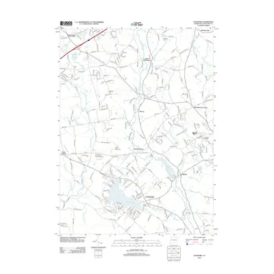
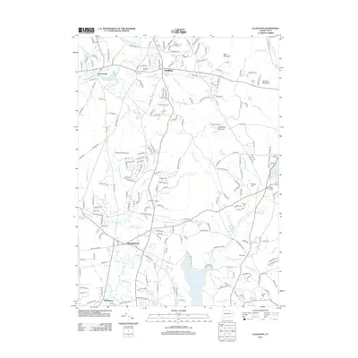
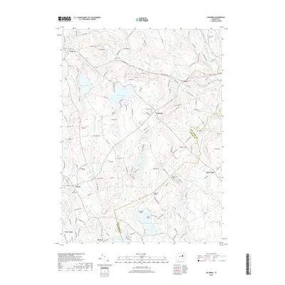
Editions of this 1953 Ellington Map
3 editions found
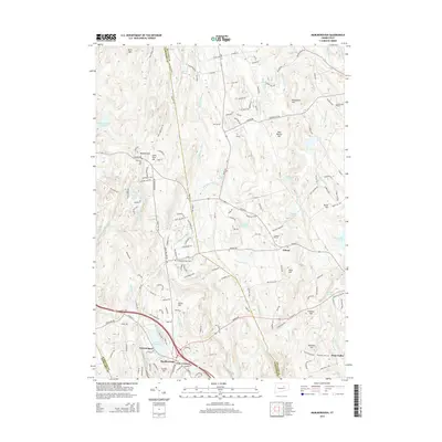
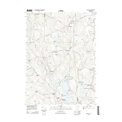
Historical Maps of Enfield Through Time
42 maps found

1892 Gilead
Tolland County, CT

1892 Tolland
Tolland County, CT

1921 Tolland
Tolland County, CT

1928 Long Meadow
Tolland County, CT

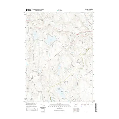
1944 Columbia
Tolland County, CT

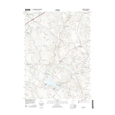
1944 Marlboro
Tolland County, CT

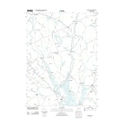
1945 Spring Hill
Tolland County, CT

1946 Ellington
Tolland County, CT

1953 Columbia
Tolland County, CT

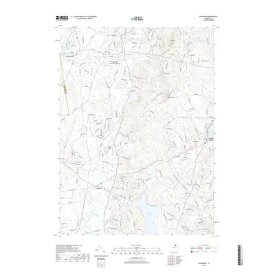
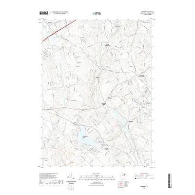
1953 Ellington
Tolland County, CT

1953 Marlborough
Tolland County, CT

1953 Spring Hill
Tolland County, CT

1967 Ellington
Tolland County, CT

1967 Marlborough
Tolland County, CT

1983 Coventry
Tolland County, CT

1983 Spring Hill
Tolland County, CT

2012 Columbia
Tolland County, CT
2012 Coventry
Tolland County, CT
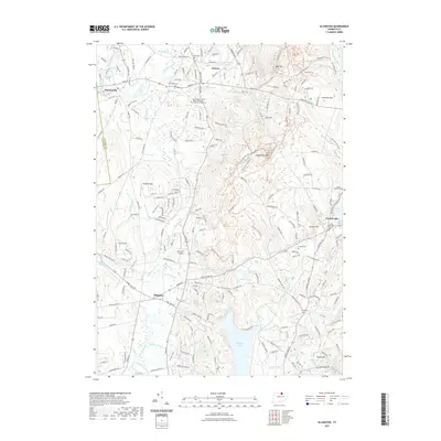
2012 Ellington
Tolland County, CT
2012 Marlborough
Tolland County, CT
2012 Spring Hill
Tolland County, CT
2015 Columbia
Tolland County, CT
2015 Coventry
Tolland County, CT
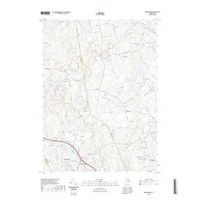
2015 Ellington
Tolland County, CT
2015 Marlborough
Tolland County, CT
2015 Spring Hill
Tolland County, CT
2018 Columbia
Tolland County, CT
2018 Coventry
Tolland County, CT
2018 Ellington
Tolland County, CT
2018 Marlborough
Tolland County, CT
2018 Spring Hill
Tolland County, CT
2021 Columbia
Tolland County, CT
2021 Coventry
Tolland County, CT
2021 Ellington
Tolland County, CT
2021 Marlborough
Tolland County, CT
2021 Spring Hill
Tolland County, CT
2023 Spring Hill
Tolland County, CT

2024 Columbia
Tolland County, CT

2024 Coventry
Tolland County, CT

2024 Ellington
Tolland County, CT

2024 Marlborough
Tolland County, CT

2024 Spring Hill
Tolland County, CT