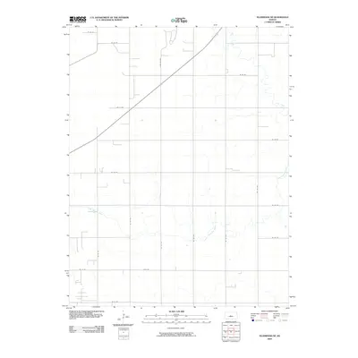
2009 Map of Ellinwood NE
USGS Topo · Published 2009About this map
Little Cheyenne Creek and Cow Creek meander across this agricultural landscape in Barton County, defining the drainage patterns of the Great Plains. The map reveals a highly structured section-line road system, including routes like NE 90 Ave and NE 140 Ave, which facilitate the region's farming economy. A notable landmark in the northern portion is Camp Aldrich, situated near the crossing of a major diagonal highway and several local routes like NE 93 Rd. This 2009 survey represents the modern rural layout of central Kansas, where the intersection of traditional section roads and newer designations like Juco Rd illustrates the evolving infrastructure of the plains.
Find a feature on this map
20 named features on this map. Tap any name to fly to it.
Don’t see what you’re looking for? This feature index may not catch every label — zoom into the map to look around manually.
Map Details
Editions of this 2009 Ellinwood NE Map
This is the sole edition of this map. No revisions or reprints were ever made.
Other maps of this area

1891 · Great Bend
USGS Topo · 1:125,000

1893 · Great Bend
USGS Topo · 1:125,000

1894 · Ellsworth
USGS Topo · 1:125,000

1894 · Lyons
USGS Topo · 1:125,000

1896 · Russell
USGS Topo · 1:125,000

1955 · Great Bend
USGS Topo · 1:250,000

1956 · Ellinwood NE
USGS Topo · 1:24,000

1956 · Ellinwood NW
USGS Topo · 1:24,000

1957 · Great Bend
USGS Topo · 1:250,000

1957 · Ellinwood SW
USGS Topo · 1:24,000