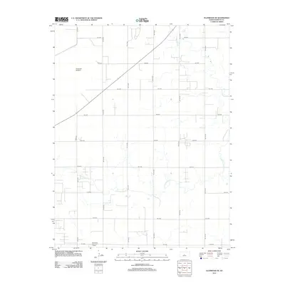
2012 Map of Ellinwood NE
USGS Topo · Published 2012About this map
Cheyenne Bottoms dominates the northwestern corner of this Barton County landscape, marking a significant basin that defines the local hydrology and land use. This 2012 survey reveals the rigid section-line grid that organizes the central Kansas prairie, where gravel and paved routes like NE 90 Ave and NE 80 Rd segment the territory into precise agricultural plots. The drainage patterns of Cow Cr and the meandering Little Cheyenne Cr provide the only organic breaks in this geometry, winding through the eastern and southern portions of the quadrangle.
Find a feature on this map
19 named features on this map. Tap any name to fly to it.
Don’t see what you’re looking for? This feature index may not catch every label — zoom into the map to look around manually.
Map Details
Editions of this 2012 Ellinwood NE Map
This is the sole edition of this map. No revisions or reprints were ever made.
Other maps of this area

1891 · Great Bend
USGS Topo · 1:125,000

1893 · Great Bend
USGS Topo · 1:125,000

1894 · Ellsworth
USGS Topo · 1:125,000

1894 · Lyons
USGS Topo · 1:125,000

1896 · Russell
USGS Topo · 1:125,000

1955 · Great Bend
USGS Topo · 1:250,000

1956 · Ellinwood NE
USGS Topo · 1:24,000

1956 · Ellinwood NW
USGS Topo · 1:24,000

1957 · Great Bend
USGS Topo · 1:250,000

1957 · Ellinwood SW
USGS Topo · 1:24,000